Distance to Benson, Utah

Calculating Your Route
Just a moment while we process your request...
Location Information
-
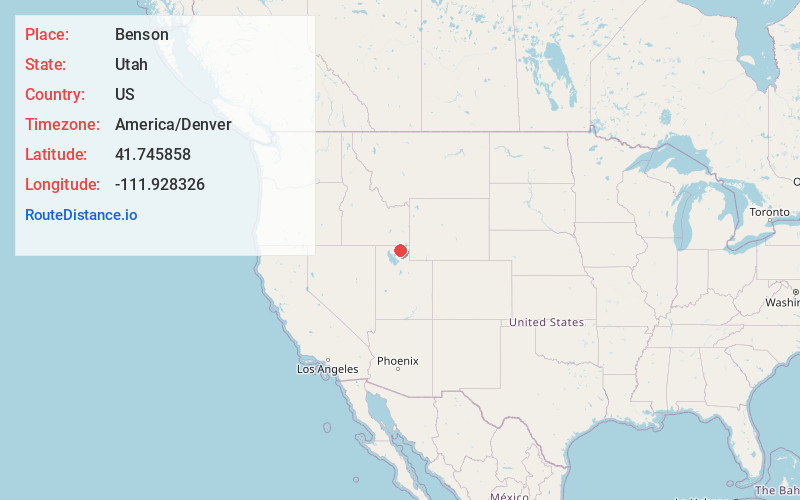
Full AddressBenson, UT
-
Coordinates41.7458581, -111.9283263
-
LocationBenson , Utah , US
-
TimezoneAmerica/Denver
-
Current Local Time11:56:24 AM America/DenverWednesday, June 18, 2025
-
Page Views0
About Benson
Benson is a census-designated place in Cache County, Utah, United States. It is immediately south of Amalga, across Utah State Route 218, and is west of the Logan-Cache Airport. The population was 1,485 at the 2010 census. It is included in the Logan, Utah-Idaho Metropolitan Statistical Area.


Nearby Places
Found 10 places within 50 miles

Logan
4.9 mi
7.9 km
Logan, UT
Get directions

River Heights
5.8 mi
9.3 km
River Heights, UT
Get directions

Providence
6.4 mi
10.3 km
Providence, UT
Get directions

North Logan
6.6 mi
10.6 km
North Logan, UT 84341
Get directions

Hyde Park
6.7 mi
10.8 km
Hyde Park, UT
Get directions

Nibley
7.0 mi
11.3 km
Nibley, UT
Get directions

Wellsville
7.4 mi
11.9 km
Wellsville, UT 84339
Get directions

Smithfield
8.1 mi
13.0 km
Smithfield, UT 84335
Get directions

Hyrum
8.7 mi
14.0 km
Hyrum, UT
Get directions
Garland
12.0 mi
19.3 km
Garland, UT
Get directions
Location Links
Local Weather
Weather Information
Coming soon!
Location Map
Static map view of Benson, Utah
Browse Places by Distance
Places within specific distances from Benson
Short Distances
Long Distances
Click any distance to see all places within that range from Benson. Distances shown in miles (1 mile ≈ 1.61 kilometers).