Distance to Bentley, Kansas

Calculating Your Route
Just a moment while we process your request...
Location Information
-
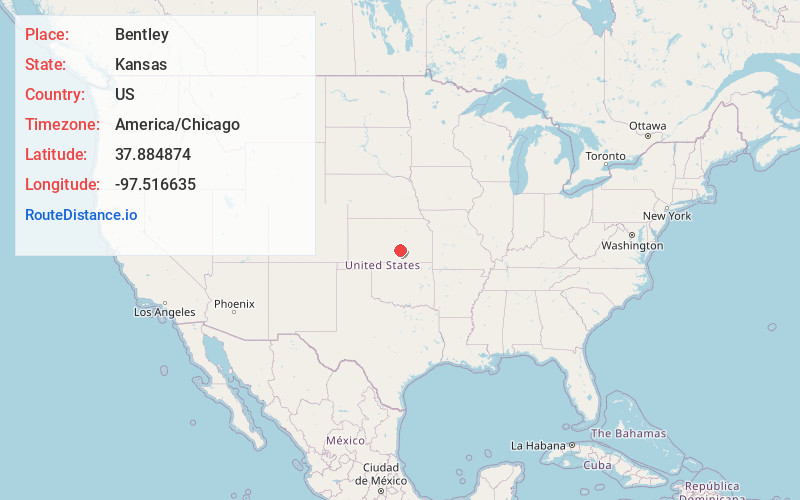
Full AddressBentley, KS
-
Coordinates37.8848736, -97.5166345
-
LocationBentley , Kansas , US
-
TimezoneAmerica/Chicago
-
Current Local Time12:27:51 AM America/ChicagoThursday, June 19, 2025
-
Website
-
Page Views0
About Bentley
Bentley is a city in Sedgwick County, Kansas, United States. As of the 2020 census, the population of the city was 560. It is located northwest of Wichita, approximately four miles north of K-96 highway at the intersection of 151st W and 109th N.


Nearby Places
Found 10 places within 50 miles

Sedgwick
5.3 mi
8.5 km
Sedgwick, KS 67135
Get directions
Colwich
7.4 mi
11.9 km
Colwich, KS 67030
Get directions
Maize
7.8 mi
12.6 km
Maize, KS
Get directions

Mt Hope
8.2 mi
13.2 km
Mt Hope, KS
Get directions

Halstead
8.2 mi
13.2 km
Halstead, KS 67056
Get directions

Valley Center
8.7 mi
14.0 km
Valley Center, KS
Get directions

Andale
8.9 mi
14.3 km
Andale, KS 67001
Get directions
Park City
12.5 mi
20.1 km
Park City, KS
Get directions

Kechi
14.2 mi
22.9 km
Kechi, KS
Get directions

Haven
14.5 mi
23.3 km
Haven, KS 67543
Get directions
Location Links
Local Weather
Weather Information
Coming soon!
Location Map
Static map view of Bentley, Kansas
Browse Places by Distance
Places within specific distances from Bentley
Short Distances
Long Distances
Click any distance to see all places within that range from Bentley. Distances shown in miles (1 mile ≈ 1.61 kilometers).