Distance to Benton, Missouri

Calculating Your Route
Just a moment while we process your request...
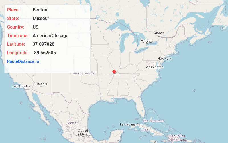
Location Information
-
Full AddressBenton, MO 63736
-
Coordinates37.0978279, -89.5625848
-
LocationBenton , Missouri , US
-
TimezoneAmerica/Chicago
-
Current Local Time3:26:04 PM America/ChicagoTuesday, July 1, 2025
-
Page Views0
About Benton
Benton is a city in Scott County, Missouri, United States. The population was 863 at the 2010 census. It is the county seat of Scott County.


Nearby Places
Found 10 places within 50 miles

Oran
5.2 mi
8.4 km
Oran, MO 63771
Get directions

Chaffee
7.6 mi
12.2 km
Chaffee, MO 63740
Get directions

Scott City
8.5 mi
13.7 km
Scott City, MO
Get directions

Miner
14.3 mi
23.0 km
Miner, MO 63801
Get directions

Cape Girardeau
14.6 mi
23.5 km
Cape Girardeau, MO
Get directions

Sikeston
15.3 mi
24.6 km
Sikeston, MO 63801
Get directions

Charleston
16.9 mi
27.2 km
Charleston, MO 63834
Get directions

Morehouse
18.6 mi
29.9 km
Morehouse, MO
Get directions
Advance
19.2 mi
30.9 km
Advance, MO 63730
Get directions

Mounds
20.1 mi
32.3 km
Mounds, IL 62964
Get directions
Location Links
Local Weather
Weather Information
Coming soon!
Location Map
Static map view of Benton, Missouri
Browse Places by Distance
Places within specific distances from Benton
Short Distances
Long Distances
Click any distance to see all places within that range from Benton. Distances shown in miles (1 mile ≈ 1.61 kilometers).