Distance to Bergton, Virginia

Calculating Your Route
Just a moment while we process your request...
Location Information
-
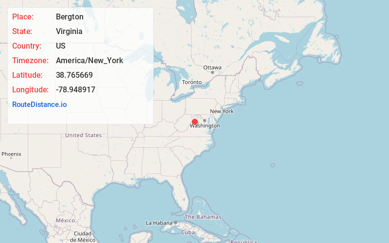
Full AddressBergton, VA 22811
-
Coordinates38.7656693, -78.948917
-
LocationBergton , Virginia , US
-
TimezoneAmerica/New_York
-
Current Local Time10:56:34 PM America/New_YorkWednesday, June 25, 2025
-
Page Views0
About Bergton
Bergton, formerly Dovesville, is an unincorporated community located in Rockingham County, in the U.S. state of Virginia. It is located in George Washington National Forest, northwest of Timberville and adjacent to Criders near the state border with West Virginia.


Nearby Places
Found 10 places within 50 miles

Yankeetown
5.6 mi
9.0 km
Yankeetown, VA 22830
Get directions

Orkney Springs
7.5 mi
12.1 km
Orkney Springs, VA 22845
Get directions
Hepners
7.8 mi
12.6 km
Hepners, VA 22842
Get directions
Macanie
10.3 mi
16.6 km
Macanie, VA 22842
Get directions

Basye
10.5 mi
16.9 km
Basye, VA
Get directions
Turleytown
11.3 mi
18.2 km
Turleytown, VA 22815
Get directions
Masonville
12.8 mi
20.6 km
Masonville, WV 26836
Get directions
Rough Run
12.8 mi
20.6 km
Rough Run, WV 26836
Get directions

Timberville
12.9 mi
20.8 km
Timberville, VA
Get directions

Lost City
12.9 mi
20.8 km
Lost City, WV
Get directions
Location Links
Local Weather
Weather Information
Coming soon!
Location Map
Static map view of Bergton, Virginia
Browse Places by Distance
Places within specific distances from Bergton
Short Distances
Long Distances
Click any distance to see all places within that range from Bergton. Distances shown in miles (1 mile ≈ 1.61 kilometers).