Distance to Berkeley, Illinois

Calculating Your Route
Just a moment while we process your request...
Location Information
-
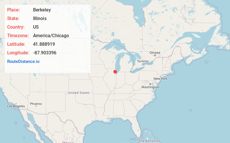
Full AddressBerkeley, IL
-
Coordinates41.8889194, -87.9033956
-
LocationBerkeley , Illinois , US
-
TimezoneAmerica/Chicago
-
Current Local Time10:37:06 PM America/ChicagoThursday, June 19, 2025
-
Website
-
Page Views0
About Berkeley
Berkeley is a village in Cook County, Illinois, United States. Incorporated in 1924, the population at the 2020 census was 5,338.
The town has a commuter railroad station on Metra's Union Pacific West Line with service to downtown Chicago.
Berkeley is situated fourteen miles west of the Chicago Loop in Cook County.


Nearby Places
Found 10 places within 50 miles

Hillside
0.8 mi
1.3 km
Hillside, IL 60162
Get directions

Bellwood
1.2 mi
1.9 km
Bellwood, IL
Get directions

Northlake
2.0 mi
3.2 km
Northlake, IL
Get directions

Elmhurst
2.1 mi
3.4 km
Elmhurst, IL
Get directions

Melrose Park
2.5 mi
4.0 km
Melrose Park, IL
Get directions

Westchester
2.9 mi
4.7 km
Westchester, IL
Get directions

Broadview
3.1 mi
5.0 km
Broadview, IL
Get directions

Maywood
3.2 mi
5.1 km
Maywood, IL 60153
Get directions

Franklin Park
3.4 mi
5.5 km
Franklin Park, IL
Get directions

Oak Brook
4.3 mi
6.9 km
Oak Brook, IL
Get directions
Location Links
Local Weather
Weather Information
Coming soon!
Location Map
Static map view of Berkeley, Illinois
Browse Places by Distance
Places within specific distances from Berkeley
Short Distances
Long Distances
Click any distance to see all places within that range from Berkeley. Distances shown in miles (1 mile ≈ 1.61 kilometers).