Distance to Bethlehem, New York

Calculating Your Route
Just a moment while we process your request...
Location Information
-
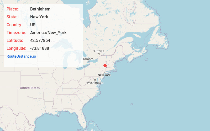
Full AddressBethlehem, NY
-
Coordinates42.5778541, -73.8183804
-
LocationBethlehem , New York , US
-
TimezoneAmerica/New_York
-
Current Local Time12:28:58 PM America/New_YorkSaturday, June 7, 2025
-
Page Views0
About Bethlehem
Bethlehem is a town in Albany County, New York, United States. The town's population was 35,034 at the 2020 census. Bethlehem is located immediately to the south of the city of Albany and includes the following hamlets: Delmar, Elsmere, Glenmont, North Bethlehem, Selkirk, Slingerlands, and South Bethlehem.

Nearby Places
Found 5 places within 50 miles

Colonie
9.7 mi
15.6 km
Colonie, NY 12205
Get directions

Guilderland
9.9 mi
15.9 km
Guilderland, NY 12084
Get directions

Schenectady
17.4 mi
28.0 km
Schenectady, NY
Get directions

Pittsfield
30.5 mi
49.1 km
Pittsfield, MA 01201
Get directions

Saratoga Springs
35.0 mi
56.3 km
Saratoga Springs, NY
Get directions
Location Links
Local Weather
Weather Information
Coming soon!
Location Map
Static map view of Bethlehem, New York
Browse Places by Distance
Places within specific distances from Bethlehem
Short Distances
Long Distances
Click any distance to see all places within that range from Bethlehem. Distances shown in miles (1 mile ≈ 1.61 kilometers).