Distance to Bethlehem, Maryland

Calculating Your Route
Just a moment while we process your request...
Location Information
-
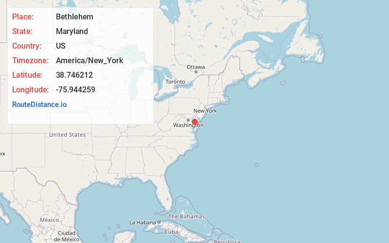
Full AddressBethlehem, MD 21655
-
Coordinates38.7462124, -75.9442592
-
LocationBethlehem , Maryland , US
-
TimezoneAmerica/New_York
-
Current Local Time1:39:48 AM America/New_YorkTuesday, June 3, 2025
-
Page Views0
About Bethlehem
Bethlehem is a populated place in Caroline County, Maryland, United States. Bethlehem is located at the intersection of Maryland routes 331 and 578, northwest of Preston.
Nearby Places
Found 10 places within 50 miles

Preston
3.0 mi
4.8 km
Preston, MD 21655
Get directions

Choptank
4.5 mi
7.2 km
Choptank, MD 21655
Get directions
Matthews
4.9 mi
7.9 km
Matthews, MD 21601
Get directions
White Oak Manor
6.8 mi
10.9 km
White Oak Manor, MD 21632
Get directions

Easton
7.4 mi
11.9 km
Easton, MD 21601
Get directions
Llandaff
7.5 mi
12.1 km
Llandaff, MD 21601
Get directions
Williston
7.7 mi
12.4 km
Williston, MD 21629
Get directions
Barber
8.3 mi
13.4 km
Barber, MD 21673
Get directions
Agner
8.4 mi
13.5 km
Agner, MD 21632
Get directions

Trappe
8.6 mi
13.8 km
Trappe, MD 21673
Get directions
Location Links
Local Weather
Weather Information
Coming soon!
Location Map
Static map view of Bethlehem, Maryland
Browse Places by Distance
Places within specific distances from Bethlehem
Short Distances
Long Distances
Click any distance to see all places within that range from Bethlehem. Distances shown in miles (1 mile ≈ 1.61 kilometers).