Distance to Bethlehem, Indiana

Calculating Your Route
Just a moment while we process your request...
Location Information
-
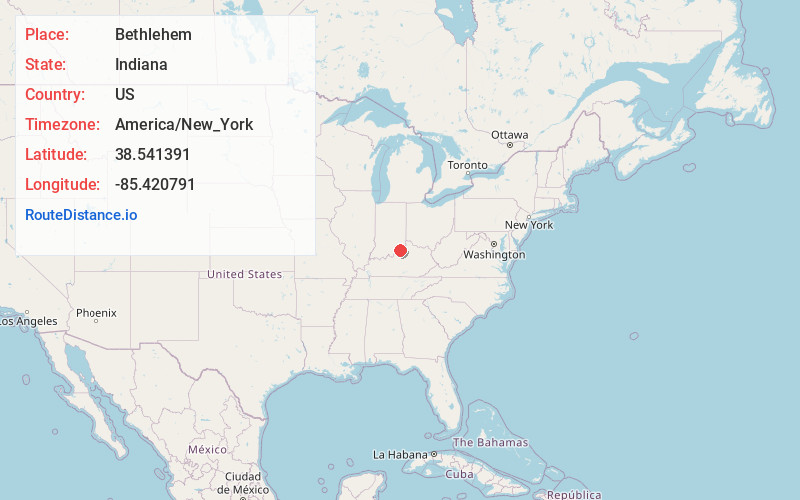
Full AddressBethlehem, IN 47104
-
Coordinates38.5413907, -85.420791
-
LocationBethlehem , Indiana , US
-
TimezoneAmerica/New_York
-
Current Local Time5:18:40 PM America/New_YorkWednesday, July 2, 2025
-
Page Views0
About Bethlehem
Bethlehem is an unincorporated community in Bethlehem Township, Clark County, Indiana, United States, twenty-five miles up the Ohio River from Louisville, Kentucky. It was platted in 1812 and according to WPA records was presumably named for Bethlehem, Pennsylvania. Its first office was established on March 6, 1816.
Nearby Places
Found 10 places within 50 miles

Wises Landing
2.3 mi
3.7 km
Wises Landing, KY 40006
Get directions
Otto
3.2 mi
5.1 km
Otto, IN 47162
Get directions
Westport
5.2 mi
8.4 km
Westport, KY 40077
Get directions
Mt Pleasant
5.3 mi
8.5 km
Mt Pleasant, KY 40006
Get directions
Hibernia
6.2 mi
10.0 km
Hibernia, IN 47111
Get directions
Bedford
6.6 mi
10.6 km
Bedford, KY 40006
Get directions
New Washington
6.6 mi
10.6 km
New Washington, IN
Get directions
Trout
6.8 mi
10.9 km
Trout, KY 40045
Get directions
Paynesville
6.8 mi
10.9 km
Paynesville, IN 47243
Get directions
Sligo
6.8 mi
10.9 km
Sligo, KY 40055
Get directions
Location Links
Local Weather
Weather Information
Coming soon!
Location Map
Static map view of Bethlehem, Indiana
Browse Places by Distance
Places within specific distances from Bethlehem
Short Distances
Long Distances
Click any distance to see all places within that range from Bethlehem. Distances shown in miles (1 mile ≈ 1.61 kilometers).