Distance to Betts, Georgia

Calculating Your Route
Just a moment while we process your request...
Location Information
-
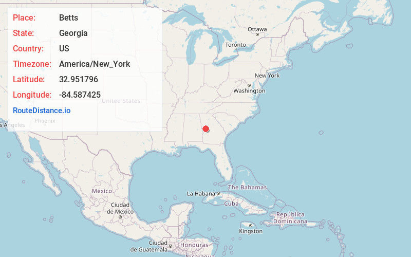
Full AddressBetts, GA 30293
-
Coordinates32.9517959, -84.5874251
-
LocationGeorgia , US
-
TimezoneAmerica/New_York
-
Current Local Time6:38:41 PM America/New_YorkSaturday, June 21, 2025
-
Page Views0
Nearby Places
Found 10 places within 50 miles

Woodbury
2.2 mi
3.5 km
Woodbury, GA 30293
Get directions

Persico
2.7 mi
4.3 km
Persico, GA 31816
Get directions
Johnson Crossroads
3.6 mi
5.8 km
Johnson Crossroads, GA 31816
Get directions
Andrews Crossroads
4.8 mi
7.7 km
Andrews Crossroads, GA 30293
Get directions

Routons Crossroads
4.8 mi
7.7 km
Routons Crossroads, GA 31816
Get directions
Snelsons Crossroads
4.8 mi
7.7 km
Snelsons Crossroads, GA 30293
Get directions
Imlac
5.2 mi
8.4 km
Imlac, GA 30293
Get directions
Lawrences Mill
5.5 mi
8.9 km
Lawrences Mill, GA 30258
Get directions
Edman
6.0 mi
9.7 km
Edman, GA 30293
Get directions
Bulloch Crossroads
6.0 mi
9.7 km
Bulloch Crossroads, Manchester, GA 31816
Get directions
Location Links
Local Weather
Weather Information
Coming soon!
Location Map
Static map view of Betts, Georgia
Browse Places by Distance
Places within specific distances from Betts
Short Distances
Long Distances
Click any distance to see all places within that range from Betts. Distances shown in miles (1 mile ≈ 1.61 kilometers).