Distance to Big Ben, England

Calculating Your Route
Just a moment while we process your request...
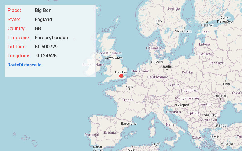
Location Information
-
Full AddressBig Ben, London SW1A 0AA, United Kingdom
-
Coordinates51.500729, -0.124625
-
LocationLondon , England , GB
-
TimezoneEurope/London
-
Current Local Time9:33:53 AM Europe/LondonThursday, May 22, 2025
-
Website
-
Page Views0
About Big Ben
16-storey Gothic clocktower and national symbol at the Eastern end of the Houses of Parliament.
Nearby Places
Found 10 places within 50 miles

London
0.5 mi
0.8 km
London, UK
Get directions

Westminster
0.5 mi
0.8 km
Westminster, London, UK
Get directions

Waterloo Station
0.5 mi
0.8 km
Waterloo Station, London SE1 8SR, UK
Get directions

Leicester Square
0.7 mi
1.1 km
Leicester Square, London WC2H 7DE, UK
Get directions

Buckingham Palace
0.7 mi
1.1 km
Buckingham Palace, London SW1A 1AA, United Kingdom
Get directions

Victoria Station
1.2 mi
1.9 km
Victoria Station, London, UK
Get directions

Victoria Coach Station
1.2 mi
1.9 km
Victoria Coach Station, London SW1W 9RH, UK
Get directions

Mayfair
1.2 mi
1.9 km
Mayfair, London, UK
Get directions

Wimbledon
7.0 mi
11.3 km
Wimbledon, London, UK
Get directions

Wembley Stadium
7.7 mi
12.4 km
Wembley Stadium, Wembley HA9 0WS, United Kingdom
Get directions
Location Links
Local Weather
Weather Information
Coming soon!
Location Map
Static map view of Big Ben, England
Browse Places by Distance
Places within specific distances from Big Ben
Short Distances
Long Distances
Click any distance to see all places within that range from Big Ben. Distances shown in miles (1 mile ≈ 1.61 kilometers).