Distance to Big Piney, Missouri

Calculating Your Route
Just a moment while we process your request...
Location Information
-
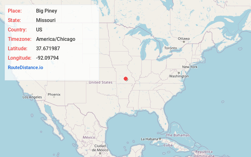
Full AddressBig Piney, MO 65473
-
Coordinates37.6719865, -92.0979396
-
LocationBig Piney , Missouri , US
-
TimezoneAmerica/Chicago
-
Current Local Time12:00:08 PM America/ChicagoThursday, June 5, 2025
-
Page Views0
About Big Piney
Big Piney is an unincorporated community in Pulaski County, Missouri, United States on the southeastern edge of Fort Leonard Wood and one mile west of a bend in the Big Piney River. The community is on Missouri Route TT four miles northeast of Palace. Licking is seventeen miles to the southeast.
Nearby Places
Found 10 places within 50 miles

Ross Bridge
2.7 mi
4.3 km
Ross Bridge, Piney Township, MO 65461
Get directions
Duke
4.8 mi
7.7 km
Duke, MO 65461
Get directions

Fort Leonard Wood
5.2 mi
8.4 km
Fort Leonard Wood, MO
Get directions
Spring Creek
7.4 mi
11.9 km
Spring Creek, MO 65461
Get directions
Slabtown
8.7 mi
14.0 km
Slabtown, Boone Township, MO 65542
Get directions

Greenview
8.8 mi
14.2 km
Greenview, Roubidoux Township, MO 65534
Get directions
Hanna
9.2 mi
14.8 km
Hanna, Roubidoux Township, MO 65534
Get directions
Hazleton
10.9 mi
17.5 km
Hazleton, Boone Township, MO 65542
Get directions

St Robert
11.6 mi
18.7 km
St Robert, MO
Get directions

Roubidoux Spring
12.0 mi
19.3 km
Roubidoux Spring, Waynesville, MO 65583
Get directions
Location Links
Local Weather
Weather Information
Coming soon!
Location Map
Static map view of Big Piney, Missouri
Browse Places by Distance
Places within specific distances from Big Piney
Short Distances
Long Distances
Click any distance to see all places within that range from Big Piney. Distances shown in miles (1 mile ≈ 1.61 kilometers).