Distance to Big South Fork National River and Recreation Area, Tennessee

Calculating Your Route
Just a moment while we process your request...
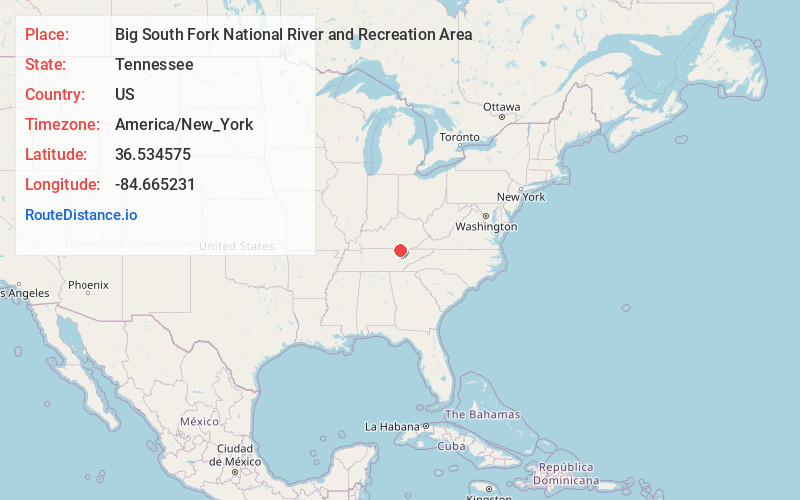
Location Information
-
Full AddressBig South Fork National River and Recreation Area, 4564 Leatherwood Rd, Oneida, TN 37841
-
Coordinates36.5345754, -84.665231
-
Street4564 Leatherwood Rd
-
LocationOneida , Tennessee , US
-
TimezoneAmerica/New_York
-
Current Local Time11:38:46 AM America/New_YorkSaturday, June 7, 2025
-
Website
-
Page Views0
About Big South Fork National River and Recreation Area
Expansive park featuring gorges & sandstone bluffs, Big South Fork National River & campgrounds.


Nearby Places
Found 10 places within 50 miles

Speck
6.0 mi
9.7 km
Speck, TN 37841
Get directions
Toomy
6.1 mi
9.8 km
Toomy, TN 37841
Get directions
Gernt
6.7 mi
10.8 km
Gernt, TN 38556
Get directions
Foster Crossroads
7.0 mi
11.3 km
Foster Crossroads, TN 37841
Get directions
Verdun
7.4 mi
11.9 km
Verdun, Oneida, TN 37841
Get directions
Three Forks
7.9 mi
12.7 km
Three Forks, TN 37755
Get directions
Oneida
8.8 mi
14.2 km
Oneida, TN 37841
Get directions
Sharp Place
9.2 mi
14.8 km
Sharp Place, TN 38556
Get directions
Fidelity
9.4 mi
15.1 km
Fidelity, KY 42647
Get directions

Helenwood
9.9 mi
15.9 km
Helenwood, TN 37755
Get directions
Location Links
Local Weather
Weather Information
Coming soon!
Location Map
Static map view of Big South Fork National River and Recreation Area, Tennessee
Browse Places by Distance
Places within specific distances from Big South Fork National River and Recreation Area
Short Distances
Long Distances
Click any distance to see all places within that range from Big South Fork National River and Recreation Area. Distances shown in miles (1 mile ≈ 1.61 kilometers).