Distance to Bigneck, Illinois

Calculating Your Route
Just a moment while we process your request...
Location Information
-
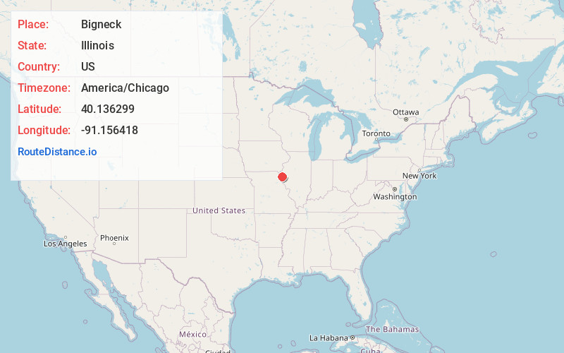
Full AddressBigneck, IL 62351
-
Coordinates40.136299, -91.156418
-
LocationBigneck , Illinois , US
-
TimezoneAmerica/Chicago
-
Current Local Time2:24:27 PM America/ChicagoMonday, June 23, 2025
-
Page Views0
About Bigneck
Bigneck, also known as Big Neck, is an unincorporated community in Keene Township, Adams County, Illinois, United States. Bigneck is located 7.7 miles west-northwest of Golden. The community is served by Illinois Route 61. There remain about two houses in the community and no businesses.
Nearby Places
Found 10 places within 50 miles

Loraine
3.7 mi
6.0 km
Loraine, IL 62349
Get directions

Woodville
3.9 mi
6.3 km
Woodville, IL 62349
Get directions
Honey Creek Township
4.5 mi
7.2 km
Honey Creek Township, IL
Get directions
Chili
5.7 mi
9.2 km
Chili, IL 62380
Get directions

Stillwell
5.9 mi
9.5 km
Stillwell, IL 62380
Get directions
Chatton
6.5 mi
10.5 km
Chatton, IL 62339
Get directions
Coatsburg
7.2 mi
11.6 km
Coatsburg, IL 62325
Get directions

Mendon
7.5 mi
12.1 km
Mendon, IL 62351
Get directions
Golden
7.6 mi
12.2 km
Golden, IL 62339
Get directions
Paloma
8.1 mi
13.0 km
Paloma, IL
Get directions
Location Links
Local Weather
Weather Information
Coming soon!
Location Map
Static map view of Bigneck, Illinois
Browse Places by Distance
Places within specific distances from Bigneck
Short Distances
Long Distances
Click any distance to see all places within that range from Bigneck. Distances shown in miles (1 mile ≈ 1.61 kilometers).