Distance to Billington Heights, New York

Calculating Your Route
Just a moment while we process your request...
Location Information
-
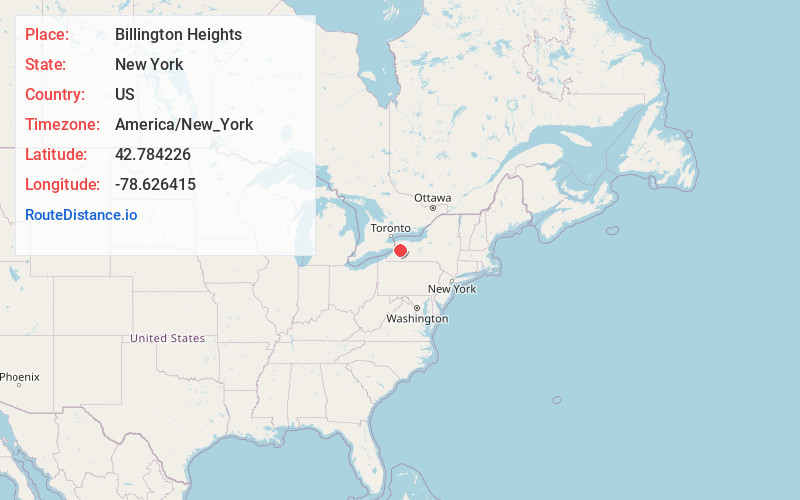
Full AddressBillington Heights, NY
-
Coordinates42.7842264, -78.6264151
-
LocationBillington Heights , New York , US
-
TimezoneAmerica/New_York
-
Current Local Time3:13:27 PM America/New_YorkTuesday, June 24, 2025
-
Page Views0
About Billington Heights
Billington Heights is a hamlet and census-designated place in the towns of Elma and Aurora in Erie County, New York, United States. The population was 1,685 at the 2010 census. It is part of the Buffalo–Niagara Falls Metropolitan Statistical Area.

Nearby Places
Found 10 places within 50 miles

East Aurora
1.3 mi
2.1 km
East Aurora, NY 14052
Get directions

Elma Center
3.2 mi
5.1 km
Elma Center, NY 14059
Get directions
Marilla
5.3 mi
8.5 km
Marilla, NY 14102
Get directions

Orchard Park
6.1 mi
9.8 km
Orchard Park, NY 14127
Get directions

West Seneca
7.4 mi
11.9 km
West Seneca, NY
Get directions
Town Line
7.8 mi
12.6 km
Town Line, NY
Get directions

Lancaster
8.3 mi
13.4 km
Lancaster, NY
Get directions
Blasdell
10.0 mi
16.1 km
Blasdell, NY 14219
Get directions
North Boston
10.2 mi
16.4 km
North Boston, NY 14075
Get directions

Lackawanna
10.4 mi
16.7 km
Lackawanna, NY
Get directions
Location Links
Local Weather
Weather Information
Coming soon!
Location Map
Static map view of Billington Heights, New York
Browse Places by Distance
Places within specific distances from Billington Heights
Short Distances
Long Distances
Click any distance to see all places within that range from Billington Heights. Distances shown in miles (1 mile ≈ 1.61 kilometers).