Distance to Birkner, Illinois

Calculating Your Route
Just a moment while we process your request...
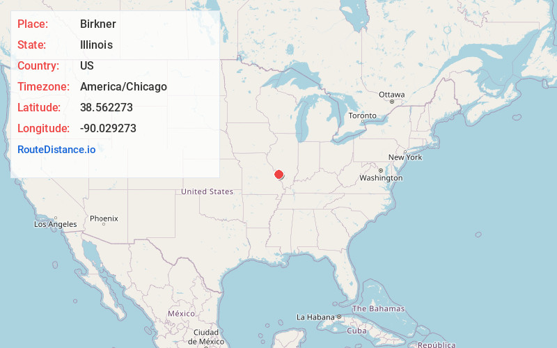
Location Information
-
Full AddressBirkner, Belleville, IL 62223
-
Coordinates38.5622725, -90.0292725
-
LocationBelleville , Illinois , US
-
TimezoneAmerica/Chicago
-
Current Local Time1:02:57 AM America/ChicagoSunday, June 15, 2025
-
Page Views0
About Birkner
Birkner is a populated area in St. Clair County, Illinois. It is located at 38.562°N 90.029°W. A mine of the same name operated from prior to 1882 to 1889. During that time, the mine was operated by Edward Avery & Company, Dutch Hollow Coal Company, and the Consolidated Coal Company of St. Louis.
Nearby Places
Found 10 places within 50 miles

Gartside
1.3 mi
2.1 km
Gartside, Belleville, IL 62223
Get directions
Ogles
1.7 mi
2.7 km
Ogles, Belleville, IL 62223
Get directions

Fairview Heights
2.8 mi
4.5 km
Fairview Heights, IL
Get directions

Swansea
2.9 mi
4.7 km
Swansea, IL
Get directions

Belleville
3.8 mi
6.1 km
Belleville, IL
Get directions
Westview
4.3 mi
6.9 km
Westview, IL 62260
Get directions
Furman
4.3 mi
6.9 km
Furman, Fairview Heights, IL 62208
Get directions
Centreville
5.0 mi
8.0 km
Centreville, IL
Get directions

Caseyville
5.1 mi
8.2 km
Caseyville, IL
Get directions

Alorton
5.3 mi
8.5 km
Alorton, Cahokia Heights, IL
Get directions
Location Links
Local Weather
Weather Information
Coming soon!
Location Map
Static map view of Birkner, Illinois
Browse Places by Distance
Places within specific distances from Birkner
Short Distances
Long Distances
Click any distance to see all places within that range from Birkner. Distances shown in miles (1 mile ≈ 1.61 kilometers).