Distance to Black Bottom, West Virginia

Calculating Your Route
Just a moment while we process your request...
Location Information
-
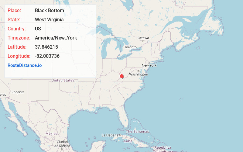
Full AddressBlack Bottom, Mt Gay-Shamrock, WV 25601
-
Coordinates37.8462146, -82.0037363
-
LocationMt Gay-Shamrock , West Virginia , US
-
TimezoneAmerica/New_York
-
Current Local Time6:51:03 PM America/New_YorkFriday, June 20, 2025
-
Page Views0
About Black Bottom
Black Bottom is an unincorporated community in Logan County, West Virginia, United States. Black Bottom is located along West Virginia Route 73, 0.6 miles west of Logan. It is part of the Mount Gay-Shamrock census-designated place.
Nearby Places
Found 10 places within 50 miles

Logan
0.6 mi
1.0 km
Logan, WV 25601
Get directions

Wilkinson
1.3 mi
2.1 km
Wilkinson, WV 25653
Get directions
West Logan
1.7 mi
2.7 km
West Logan, WV 25601
Get directions
Peach Creek
2.2 mi
3.5 km
Peach Creek, WV 25601
Get directions
Stollings
2.2 mi
3.5 km
Stollings, WV 25601
Get directions
Monaville
2.4 mi
3.9 km
Monaville, WV 25601
Get directions
McConnell
2.5 mi
4.0 km
McConnell, WV
Get directions
Crooked Creek
2.8 mi
4.5 km
Crooked Creek, WV 25601
Get directions
Verdunville
2.8 mi
4.5 km
Verdunville, WV
Get directions
Rossmore
2.8 mi
4.5 km
Rossmore, WV 25601
Get directions
Location Links
Local Weather
Weather Information
Coming soon!
Location Map
Static map view of Black Bottom, West Virginia
Browse Places by Distance
Places within specific distances from Black Bottom
Short Distances
Long Distances
Click any distance to see all places within that range from Black Bottom. Distances shown in miles (1 mile ≈ 1.61 kilometers).