Distance to Black Rock, Oregon

Calculating Your Route
Just a moment while we process your request...
Location Information
-
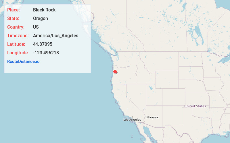
Full AddressBlack Rock, OR 97344
-
Coordinates44.8709501, -123.4962175
-
LocationBlack Rock , Oregon , US
-
TimezoneAmerica/Los_Angeles
-
Current Local Time7:44:43 PM America/Los_AngelesSunday, June 22, 2025
-
Page Views0
About Black Rock
Black Rock is an unincorporated community and former logging camp in Polk County, Oregon, United States. It is located about three miles west of Falls City, in the Central Oregon Coast Range on the Little Luckiamute River.


Nearby Places
Found 10 places within 50 miles

Falls City
3.0 mi
4.8 km
Falls City, OR 97344
Get directions

Oakdale
6.1 mi
9.8 km
Oakdale, OR 97338
Get directions
Ellendale
8.0 mi
12.9 km
Ellendale, OR 97338
Get directions

Pedee
9.1 mi
14.6 km
Pedee, OR 97361
Get directions

Dallas
9.4 mi
15.1 km
Dallas, OR 97338
Get directions
Buell
10.7 mi
17.2 km
Buell, OR 97378
Get directions
Fir Villa
11.6 mi
18.7 km
Fir Villa, OR 97338
Get directions
Airlie
11.7 mi
18.8 km
Airlie, OR 97361
Get directions

Kings Valley
11.7 mi
18.8 km
Kings Valley, OR
Get directions

Monmouth
12.9 mi
20.8 km
Monmouth, OR
Get directions
Location Links
Local Weather
Weather Information
Coming soon!
Location Map
Static map view of Black Rock, Oregon
Browse Places by Distance
Places within specific distances from Black Rock
Short Distances
Long Distances
Click any distance to see all places within that range from Black Rock. Distances shown in miles (1 mile ≈ 1.61 kilometers).