Distance to Black Rock, Arkansas

Calculating Your Route
Just a moment while we process your request...
Location Information
-
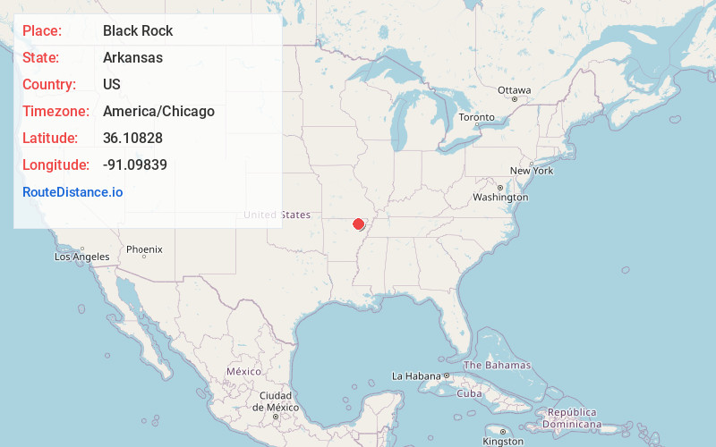
Full AddressBlack Rock, AR
-
Coordinates36.1082803, -91.0983903
-
LocationBlack Rock , Arkansas , US
-
TimezoneAmerica/Chicago
-
Current Local Time5:55:38 PM America/ChicagoWednesday, June 4, 2025
-
Page Views0
About Black Rock
Black Rock is a city in Lawrence County, Arkansas, United States, along the Black River. The population was 662 at the 2010 census.


Nearby Places
Found 10 places within 50 miles

Hoxie
8.0 mi
12.9 km
Hoxie, AR
Get directions

Walnut Ridge
8.4 mi
13.5 km
Walnut Ridge, AR
Get directions

Pocahontas
12.8 mi
20.6 km
Pocahontas, AR 72455
Get directions

Swifton
19.7 mi
31.7 km
Swifton, AR 72471
Get directions

Bono
21.5 mi
34.6 km
Bono, AR 72416
Get directions

Highland
26.3 mi
42.3 km
Highland, AR
Get directions
Tuckerman
26.7 mi
43.0 km
Tuckerman, AR 72473
Get directions

Cherokee Village
27.7 mi
44.6 km
Cherokee Village, AR
Get directions

Cave City
27.7 mi
44.6 km
Cave City, AR 72521
Get directions
Gibson
27.8 mi
44.7 km
Gibson, AR 72404
Get directions
Location Links
Local Weather
Weather Information
Coming soon!
Location Map
Static map view of Black Rock, Arkansas
Browse Places by Distance
Places within specific distances from Black Rock
Short Distances
Long Distances
Click any distance to see all places within that range from Black Rock. Distances shown in miles (1 mile ≈ 1.61 kilometers).