Distance to Blackwell, Oklahoma

Calculating Your Route
Just a moment while we process your request...
Location Information
-
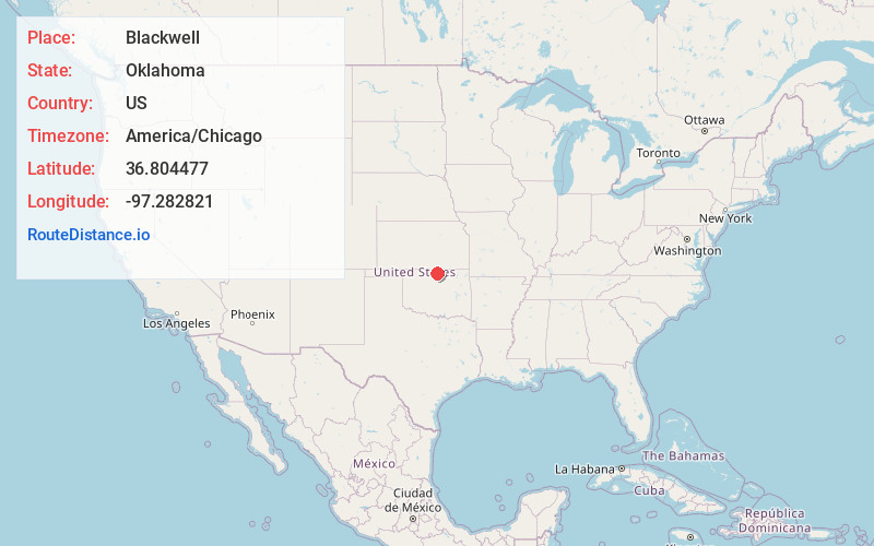
Full AddressBlackwell, OK 74631
-
Coordinates36.8044767, -97.2828207
-
LocationBlackwell , Oklahoma , US
-
TimezoneAmerica/Chicago
-
Current Local Time4:02:53 AM America/ChicagoSunday, June 15, 2025
-
Page Views0
About Blackwell
Blackwell is a city in Kay County, Oklahoma, United States, located at the intersection of U.S. Highway 177 and State Highway 11 along Interstate 35. The population was 6,085 as of the 2020 census. Blackwell was established following the September 16, 1893 Cherokee Outlet land run by A. J. Blackwell.


Nearby Places
Found 6 places within 50 miles

Ponca City
12.8 mi
20.6 km
Ponca City, OK
Get directions

Arkansas City
22.3 mi
35.9 km
Arkansas City, KS 67005
Get directions

Wellington
32.2 mi
51.8 km
Wellington, KS
Get directions

Winfield
34.0 mi
54.7 km
Winfield, KS
Get directions

Enid
43.5 mi
70.0 km
Enid, OK
Get directions

Stillwater
49.2 mi
79.2 km
Stillwater, OK
Get directions
Location Links
Local Weather
Weather Information
Coming soon!
Location Map
Static map view of Blackwell, Oklahoma
Browse Places by Distance
Places within specific distances from Blackwell
Short Distances
Long Distances
Click any distance to see all places within that range from Blackwell. Distances shown in miles (1 mile ≈ 1.61 kilometers).