Distance to Blackwells Corner, California

Calculating Your Route
Just a moment while we process your request...
Location Information
-
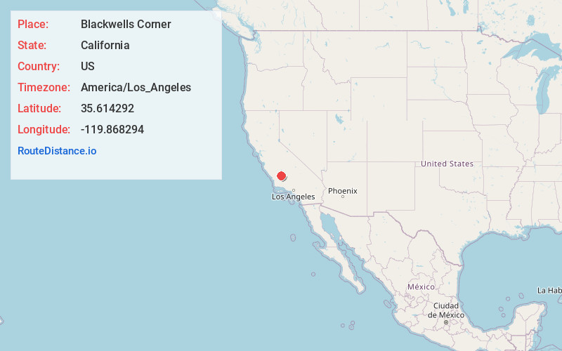
Full AddressBlackwells Corner, CA 93249
-
Coordinates35.614292, -119.868294
-
LocationBlackwells Corner , California , US
-
TimezoneAmerica/Los_Angeles
-
Current Local Time11:37:46 PM America/Los_AngelesWednesday, July 2, 2025
-
Page Views0
About Blackwells Corner
Blackwells Corner is an unincorporated community in Kern County, California. It is located 50 miles west-northwest of Bakersfield, at an elevation of 650 feet.


Nearby Places
Found 10 places within 50 miles

North Belridge
6.4 mi
10.3 km
North Belridge, CA 93249
Get directions

Lost Hills
9.8 mi
15.8 km
Lost Hills, CA
Get directions
Spicer City
16.8 mi
27.0 km
Spicer City, CA 93206
Get directions
Annette
17.6 mi
28.3 km
Annette, CA 93461
Get directions
Simmler
19.3 mi
31.1 km
Simmler, CA 93453
Get directions

Semitropic
20.3 mi
32.7 km
Semitropic, CA 93280
Get directions
Reward
22.8 mi
36.7 km
Reward, CA 93251
Get directions
Lokern
23.5 mi
37.8 km
Lokern, CA 93206
Get directions

Cholame
25.2 mi
40.6 km
Cholame, CA 93461
Get directions

McKittrick
25.4 mi
40.9 km
McKittrick, CA
Get directions
Location Links
Local Weather
Weather Information
Coming soon!
Location Map
Static map view of Blackwells Corner, California
Browse Places by Distance
Places within specific distances from Blackwells Corner
Short Distances
Long Distances
Click any distance to see all places within that range from Blackwells Corner. Distances shown in miles (1 mile ≈ 1.61 kilometers).