Distance to Blairs Mills, Kentucky

Calculating Your Route
Just a moment while we process your request...
Location Information
-
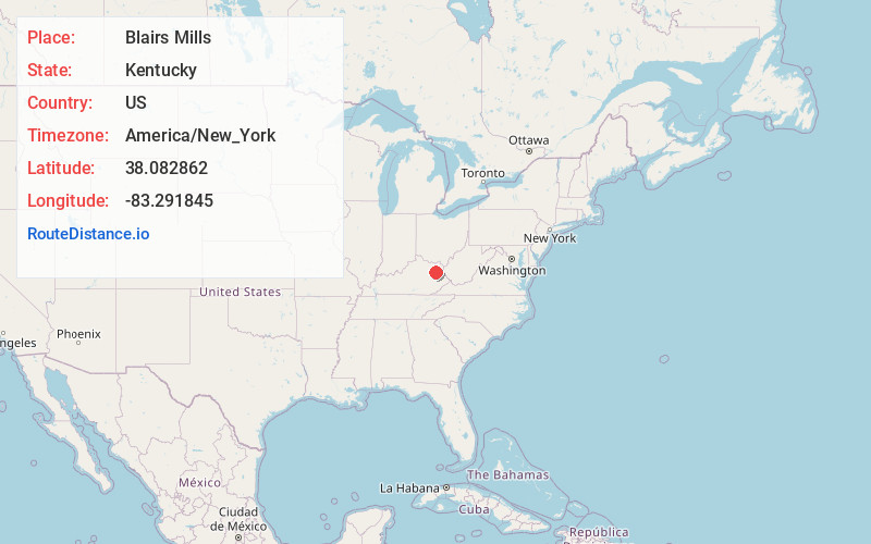
Full AddressBlairs Mills, KY 41472
-
Coordinates38.0828617, -83.2918454
-
LocationKentucky , US
-
TimezoneAmerica/New_York
-
Current Local Time1:47:06 PM America/New_YorkThursday, June 5, 2025
-
Page Views0


Nearby Places
Found 10 places within 50 miles

Hamim
3.3 mi
5.3 km
Hamim, KY 40351
Get directions
Spanglin
3.5 mi
5.6 km
Spanglin, KY 41171
Get directions
Craney
3.6 mi
5.8 km
Craney, KY 40313
Get directions
Lytten
4.1 mi
6.6 km
Lytten, KY 41171
Get directions
Redwine
5.8 mi
9.3 km
Redwine, KY 41472
Get directions
Bigstone
6.8 mi
10.9 km
Bigstone, KY 41171
Get directions
Elliottville
7.0 mi
11.3 km
Elliottville, KY 40317
Get directions
Bascom
7.7 mi
12.4 km
Bascom, KY 41171
Get directions
Zag
7.7 mi
12.4 km
Zag, KY 41472
Get directions

Sandy Hook
9.0 mi
14.5 km
Sandy Hook, KY 41171
Get directions
Location Links
Local Weather
Weather Information
Coming soon!
Location Map
Static map view of Blairs Mills, Kentucky
Browse Places by Distance
Places within specific distances from Blairs Mills
Short Distances
Long Distances
Click any distance to see all places within that range from Blairs Mills. Distances shown in miles (1 mile ≈ 1.61 kilometers).