Distance to and from Blakely, Georgia
Blakely, GA 39823
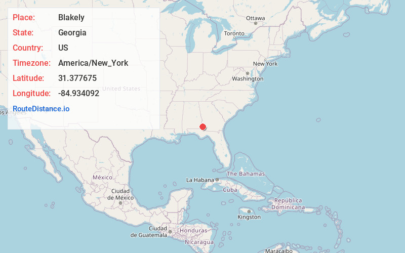
Blakely
Georgia
US
America/New_York
Location Information
-
Full AddressBlakely, GA 39823
-
Coordinates31.3776754, -84.934092
-
LocationBlakely , Georgia , US
-
TimezoneAmerica/New_York
-
Current Local Time1:11:57 PM America/New_YorkSunday, May 4, 2025
-
Page Views0
Directions to Nearest Cities
About Blakely
Blakely is a city in and the county seat of Early County, Georgia, United States. As of 2020, its population was 5,371. It is located approximately halfway between Columbus and Tallahassee, Florida on U.S. Route 27.


Nearby Places
Found 9 places within 50 miles

Dothan
28.9 mi
46.5 km
Dothan, AL
Get directions

Georgetown
36.7 mi
59.1 km
Georgetown, GA 39854
Get directions

Eufaula
37.6 mi
60.5 km
Eufaula, AL
Get directions

Bainbridge
39.0 mi
62.8 km
Bainbridge, GA
Get directions

Ozark
42.0 mi
67.6 km
Ozark, AL 36360
Get directions

Camilla
43.9 mi
70.7 km
Camilla, GA 31730
Get directions

Marianna
45.1 mi
72.6 km
Marianna, FL
Get directions

Fort Novosel
46.2 mi
74.4 km
Fort Novosel, AL
Get directions

Albany
48.2 mi
77.6 km
Albany, GA
Get directions
Dothan
28.9 mi
46.5 km
Dothan, AL
Georgetown
36.7 mi
59.1 km
Georgetown, GA 39854
Eufaula
37.6 mi
60.5 km
Eufaula, AL
Bainbridge
39.0 mi
62.8 km
Bainbridge, GA
Ozark
42.0 mi
67.6 km
Ozark, AL 36360
Camilla
43.9 mi
70.7 km
Camilla, GA 31730
Marianna
45.1 mi
72.6 km
Marianna, FL
Fort Novosel
46.2 mi
74.4 km
Fort Novosel, AL
Albany
48.2 mi
77.6 km
Albany, GA
Location Links
Local Weather
Weather Information
Coming soon!
Location Map
Static map view of Blakely, Georgia
Browse Places by Distance
Places within specific distances from Blakely
Short Distances
Long Distances
Click any distance to see all places within that range from Blakely. Distances shown in miles (1 mile ≈ 1.61 kilometers).