Distance to Blanch, North Carolina

Calculating Your Route
Just a moment while we process your request...
Location Information
-
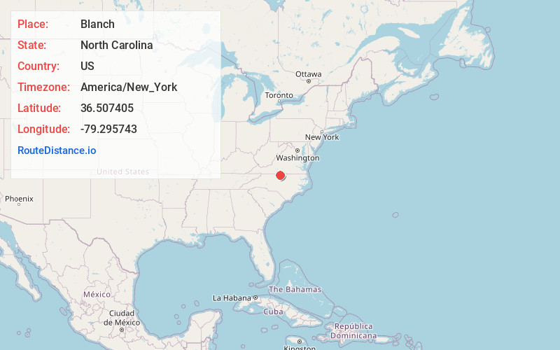
Full AddressBlanch, NC 27212
-
Coordinates36.5074054, -79.2957432
-
LocationBlanch , North Carolina , US
-
TimezoneAmerica/New_York
-
Current Local Time3:14:15 AM America/New_YorkWednesday, June 18, 2025
-
Page Views0
About Blanch
Blanch is an unincorporated community in Dan River Township, Caswell County, North Carolina, between North Carolina Highway 86, and North Carolina Highway 62, at an elevation of 387 feet.

Nearby Places
Found 10 places within 50 miles

Estelle
3.1 mi
5.0 km
Estelle, NC 27305
Get directions
Wallace Mill
3.6 mi
5.8 km
Wallace Mill, NC 27315
Get directions
Hamer
3.7 mi
6.0 km
Hamer, NC 27212
Get directions
Providence
4.1 mi
6.6 km
Providence, NC 27315
Get directions

Milton
5.3 mi
8.5 km
Milton, NC 27305
Get directions
Pleasant Grove
6.0 mi
9.7 km
Pleasant Grove, Danville, VA 24541
Get directions
Park Spring
7.1 mi
11.4 km
Park Spring, NC 27311
Get directions

Yanceyville
7.5 mi
12.1 km
Yanceyville, NC
Get directions

Danville
7.7 mi
12.4 km
Danville, VA
Get directions
West Yanceyville
8.6 mi
13.8 km
West Yanceyville, NC 27379
Get directions
Location Links
Local Weather
Weather Information
Coming soon!
Location Map
Static map view of Blanch, North Carolina
Browse Places by Distance
Places within specific distances from Blanch
Short Distances
Long Distances
Click any distance to see all places within that range from Blanch. Distances shown in miles (1 mile ≈ 1.61 kilometers).