Distance to Blanchard, North Dakota

Calculating Your Route
Just a moment while we process your request...
Location Information
-
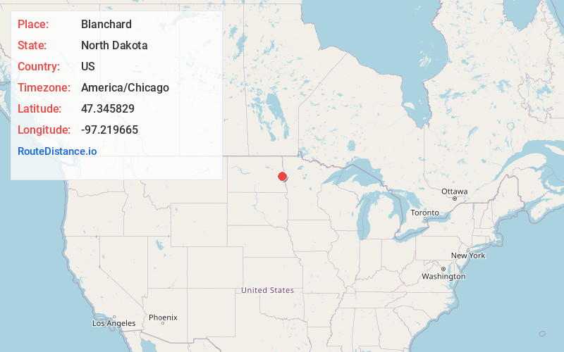
Full AddressBlanchard, ND 58009
-
Coordinates47.345829, -97.2196648
-
LocationBlanchard , North Dakota , US
-
TimezoneAmerica/Chicago
-
Current Local Time11:23:01 AM America/ChicagoThursday, June 19, 2025
-
Page Views0
About Blanchard
Blanchard is a census-designated place in Blanchard Township, Traill County, North Dakota, United States. The population was 16 at the 2020 census.
Blanchard is near the North Dakota-Minnesota border, near the junction of state highways 18 and 200.
Nearby Places
Found 10 places within 50 miles

Hillsboro
8.4 mi
13.5 km
Hillsboro, ND 58045
Get directions

Clifford
8.9 mi
14.3 km
Clifford, ND 58016
Get directions
Galesburg
10.2 mi
16.4 km
Galesburg, ND 58035
Get directions
Hunter
10.7 mi
17.2 km
Hunter, ND 58048
Get directions

Mayville
11.6 mi
18.7 km
Mayville, ND 58257
Get directions

Portland
12.7 mi
20.4 km
Portland, ND 58274
Get directions
Grandin
12.7 mi
20.4 km
Grandin, ND 58038
Get directions
Arthur
16.7 mi
26.9 km
Arthur, ND 58006
Get directions
Caledonia
17.4 mi
28.0 km
Caledonia, ND
Get directions

Erie
17.8 mi
28.6 km
Erie, ND 58029
Get directions
Location Links
Local Weather
Weather Information
Coming soon!
Location Map
Static map view of Blanchard, North Dakota
Browse Places by Distance
Places within specific distances from Blanchard
Short Distances
Long Distances
Click any distance to see all places within that range from Blanchard. Distances shown in miles (1 mile ≈ 1.61 kilometers).