Distance to Blanco, Oklahoma

Calculating Your Route
Just a moment while we process your request...
Location Information
-
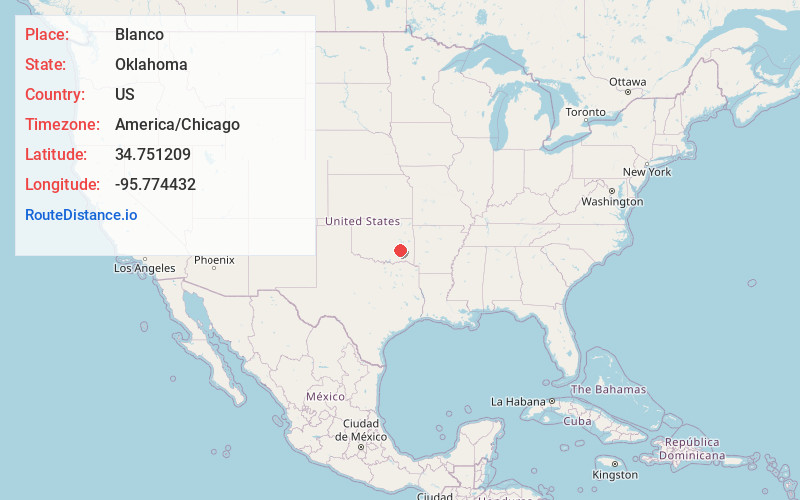
Full AddressBlanco, OK 74501
-
Coordinates34.7512088, -95.7744324
-
LocationBlanco , Oklahoma , US
-
TimezoneAmerica/Chicago
-
Current Local Time5:01:53 PM America/ChicagoFriday, May 30, 2025
-
Page Views0
About Blanco
Blanco is a rural unincorporated community located on State Highway 63 in Pittsburg County, Oklahoma, United States. The ZIP code is 74528. The Census Bureau defined a census-designated place for Blanco in 2015; the 2010 population within the 2015 CDP boundary is 96 and contains 52 housing units.
Nearby Places
Found 10 places within 50 miles

Pittsburg
5.0 mi
8.0 km
Pittsburg, OK
Get directions

Savanna
6.7 mi
10.8 km
Savanna, OK
Get directions

Kiowa
7.4 mi
11.9 km
Kiowa, OK 74553
Get directions
Alderson
11.3 mi
18.2 km
Alderson, OK 74501
Get directions

McAlester
12.6 mi
20.3 km
McAlester, OK 74501
Get directions

Krebs
12.7 mi
20.4 km
Krebs, OK 74501
Get directions

Haileyville
13.0 mi
20.9 km
Haileyville, OK
Get directions
Haywood
13.6 mi
21.9 km
Haywood, OK 74501
Get directions

Hartshorne
13.9 mi
22.4 km
Hartshorne, OK 74547
Get directions

Arpelar
17.1 mi
27.5 km
Arpelar, OK 74501
Get directions
Location Links
Local Weather
Weather Information
Coming soon!
Location Map
Static map view of Blanco, Oklahoma
Browse Places by Distance
Places within specific distances from Blanco
Short Distances
Long Distances
Click any distance to see all places within that range from Blanco. Distances shown in miles (1 mile ≈ 1.61 kilometers).