Distance to Blandon, Pennsylvania

Calculating Your Route
Just a moment while we process your request...
Location Information
-
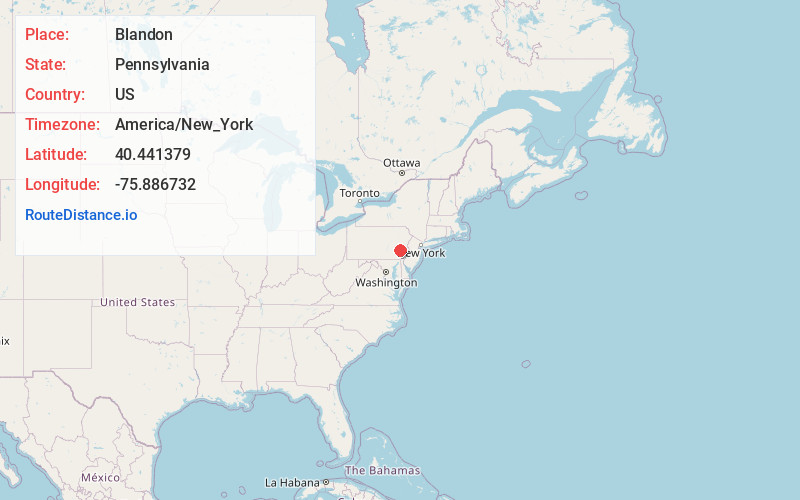
Full AddressBlandon, PA
-
Coordinates40.4413786, -75.8867317
-
LocationBlandon , Pennsylvania , US
-
TimezoneAmerica/New_York
-
Current Local Time8:08:49 PM America/New_YorkWednesday, July 2, 2025
-
Page Views0
About Blandon
Blandon is a census-designated place in Maidencreek Township, Berks County, Pennsylvania, United States. It is located at the junction of Pennsylvania Route 73 and Park Road. As of the 2020 census, the population was 7,289 residents.

Nearby Places
Found 10 places within 50 miles

Maidencreek Township
1.4 mi
2.3 km
Maidencreek Township, PA
Get directions

Reading
7.4 mi
11.9 km
Reading, PA
Get directions

Wyomissing
8.8 mi
14.2 km
Wyomissing, PA
Get directions

Cumru Township
12.4 mi
20.0 km
Cumru Township, PA
Get directions

South Heidelberg Township
14.4 mi
23.2 km
South Heidelberg Township, PA
Get directions
Robeson Township
14.6 mi
23.5 km
Robeson Township, PA
Get directions
Douglass Township
14.8 mi
23.8 km
Douglass Township, PA
Get directions

Breinigsville
15.0 mi
24.1 km
Breinigsville, PA 18031
Get directions
Brecknock Township
15.2 mi
24.5 km
Brecknock Township, PA
Get directions
Upper Macungie Township
16.0 mi
25.7 km
Upper Macungie Township, PA
Get directions
Location Links
Local Weather
Weather Information
Coming soon!
Location Map
Static map view of Blandon, Pennsylvania
Browse Places by Distance
Places within specific distances from Blandon
Short Distances
Long Distances
Click any distance to see all places within that range from Blandon. Distances shown in miles (1 mile ≈ 1.61 kilometers).