Distance to Blands, North Carolina

Calculating Your Route
Just a moment while we process your request...
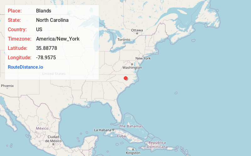
Location Information
-
Full AddressBlands, NC 27713
-
Coordinates35.88778, -78.9575
-
LocationBlands , North Carolina , US
-
TimezoneAmerica/New_York
-
Current Local Time5:39:15 AM America/New_YorkWednesday, June 18, 2025
-
Page Views0
About Blands
Blands is an unincorporated community in southwestern Durham County, North Carolina, on the intersection of North Carolina Highway 751 and Stagecoach Road, at an elevation of 236 feet.
Nearby Places
Found 10 places within 50 miles

Chapel Hill
5.8 mi
9.3 km
Chapel Hill, NC
Get directions

Carrboro
6.8 mi
10.9 km
Carrboro, NC
Get directions

Durham
8.1 mi
13.0 km
Durham, NC
Get directions

Morrisville
8.6 mi
13.8 km
Morrisville, NC
Get directions

Wilsonville
10.7 mi
17.2 km
Wilsonville, NC 27523
Get directions

Cary
12.1 mi
19.5 km
Cary, NC
Get directions

Apex
12.3 mi
19.8 km
Apex, NC
Get directions
Dodsons Crossroads
12.9 mi
20.8 km
Dodsons Crossroads, NC 27278
Get directions

Hillsborough
15.2 mi
24.5 km
Hillsborough, NC 27278
Get directions

Pittsboro
16.9 mi
27.2 km
Pittsboro, NC
Get directions
Location Links
Local Weather
Weather Information
Coming soon!
Location Map
Static map view of Blands, North Carolina
Browse Places by Distance
Places within specific distances from Blands
Short Distances
Long Distances
Click any distance to see all places within that range from Blands. Distances shown in miles (1 mile ≈ 1.61 kilometers).