Distance to Blanton, Arkansas

Calculating Your Route
Just a moment while we process your request...
Location Information
-
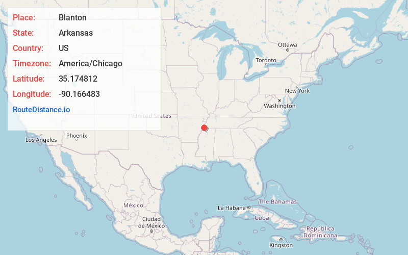
Full AddressBlanton, West Memphis, AR 72301
-
Coordinates35.1748122, -90.1664828
-
LocationWest Memphis , Arkansas , US
-
TimezoneAmerica/Chicago
-
Current Local Time9:59:30 PM America/ChicagoWednesday, June 18, 2025
-
Page Views0
Nearby Places
Found 10 places within 50 miles

West Memphis
2.2 mi
3.5 km
West Memphis, AR
Get directions

Marion
3.2 mi
5.1 km
Marion, AR
Get directions

Sunset
3.9 mi
6.3 km
Sunset, AR 72364
Get directions

Memphis
6.7 mi
10.8 km
Memphis, TN
Get directions
Jericho
8.6 mi
13.8 km
Jericho, AR 72327
Get directions

Edmondson
9.5 mi
15.3 km
Edmondson, AR
Get directions

Crawfordsville
9.7 mi
15.6 km
Crawfordsville, AR 72327
Get directions

Clarkedale
10.1 mi
16.3 km
Clarkedale, AR
Get directions
Lakeview
12.9 mi
20.8 km
Lakeview, MS
Get directions
Jennette
13.2 mi
21.2 km
Jennette, AR
Get directions
Location Links
Local Weather
Weather Information
Coming soon!
Location Map
Static map view of Blanton, Arkansas
Browse Places by Distance
Places within specific distances from Blanton
Short Distances
Long Distances
Click any distance to see all places within that range from Blanton. Distances shown in miles (1 mile ≈ 1.61 kilometers).