Distance to Bledsoe, Texas

Calculating Your Route
Just a moment while we process your request...
Location Information
-
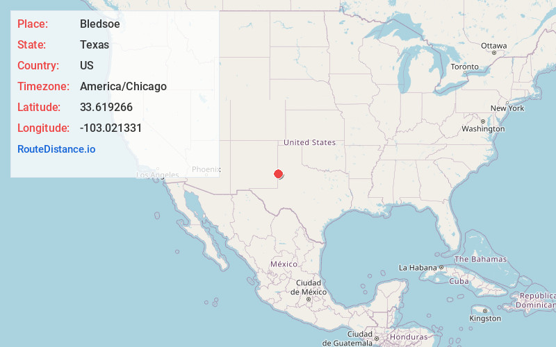
Full AddressBledsoe, TX
-
Coordinates33.6192664, -103.0213305
-
LocationBledsoe , Texas , US
-
TimezoneAmerica/Chicago
-
Current Local Time4:50:06 PM America/ChicagoWednesday, June 18, 2025
-
Page Views0
About Bledsoe
Bledsoe is an unincorporated community and census designated place in western Cochran County, Texas, United States, located near the New Mexico border. It is approximately 68 miles west of Lubbock. As of the 1990 US Census, the town had a population of 125.
Nearby Places
Found 10 places within 50 miles

Morton
16.7 mi
26.9 km
Morton, TX 79346
Get directions

Whiteface
23.5 mi
37.8 km
Whiteface, TX 79379
Get directions

Plains
31.8 mi
51.2 km
Plains, TX 79355
Get directions

Sundown
32.6 mi
52.5 km
Sundown, TX 79372
Get directions

Levelland
37.1 mi
59.7 km
Levelland, TX 79336
Get directions
Opdyke West
41.4 mi
66.6 km
Opdyke West, TX 79336
Get directions

Sudan
42.1 mi
67.8 km
Sudan, TX
Get directions

Portales
43.1 mi
69.4 km
Portales, NM 88130
Get directions
Amherst
44.0 mi
70.8 km
Amherst, TX
Get directions

Littlefield
45.0 mi
72.4 km
Littlefield, TX 79339
Get directions
Location Links
Local Weather
Weather Information
Coming soon!
Location Map
Static map view of Bledsoe, Texas
Browse Places by Distance
Places within specific distances from Bledsoe
Short Distances
Long Distances
Click any distance to see all places within that range from Bledsoe. Distances shown in miles (1 mile ≈ 1.61 kilometers).