Distance to Bleecker, Alabama

Calculating Your Route
Just a moment while we process your request...
Location Information
-
Full AddressBleecker, AL 36874
-
Coordinates32.5823594, -85.1641056
-
LocationAlabama , US
-
TimezoneAmerica/Chicago
-
Current Local Time7:49:53 AM America/ChicagoWednesday, May 21, 2025
-
Page Views0
Nearby Places
Found 10 places within 50 miles

Shotwell
1.1 mi
1.8 km
Shotwell, AL 36874
Get directions
Motts
1.6 mi
2.6 km
Motts, AL 36877
Get directions
Powledge
3.1 mi
5.0 km
Powledge, AL 36874
Get directions
Wacoochee Valley
3.6 mi
5.8 km
Wacoochee Valley, AL 36874
Get directions
Salem
4.4 mi
7.1 km
Salem, AL 36874
Get directions

Smiths Station
4.8 mi
7.7 km
Smiths Station, AL
Get directions
Meadows Crossroads
5.1 mi
8.2 km
Meadows Crossroads, AL 36870
Get directions
Moffits Mill
5.1 mi
8.2 km
Moffits Mill, AL 36874
Get directions
Prince Crossroads
5.4 mi
8.7 km
Prince Crossroads, AL 36874
Get directions
Halawaka
5.7 mi
9.2 km
Halawaka, AL 36854
Get directions
Location Links
Local Weather
Weather Information
Coming soon!
Location Map
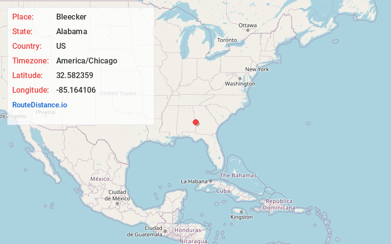
Static map view of Bleecker, Alabama
Browse Places by Distance
Places within specific distances from Bleecker
Short Distances
Long Distances
Click any distance to see all places within that range from Bleecker. Distances shown in miles (1 mile ≈ 1.61 kilometers).