Distance to Blevins Crossroads, North Carolina

Calculating Your Route
Just a moment while we process your request...
Location Information
-
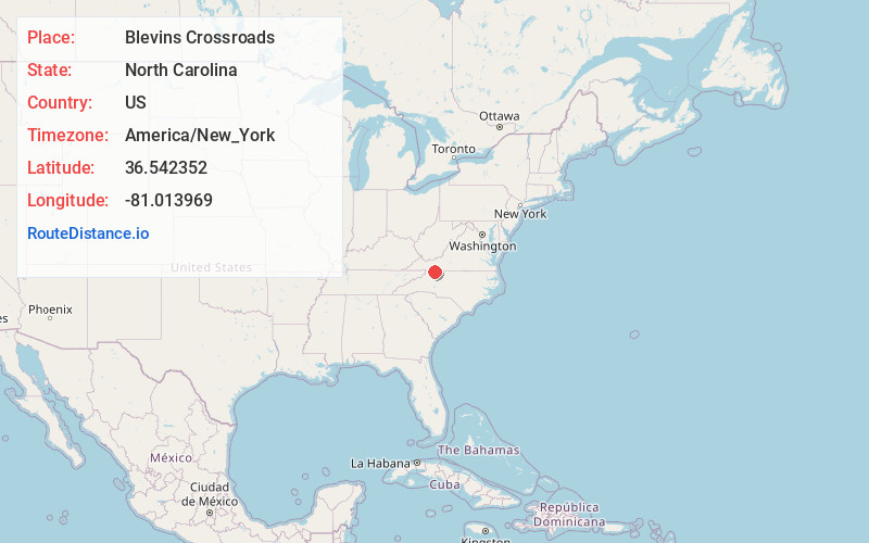
Full AddressBlevins Crossroads, NC 28623
-
Coordinates36.5423521, -81.0139691
-
LocationNorth Carolina , US
-
TimezoneAmerica/New_York
-
Current Local Time8:38:08 PM America/New_YorkTuesday, June 17, 2025
-
Page Views0
Nearby Places
Found 10 places within 50 miles

Edwards Crossroads
2.6 mi
4.2 km
Edwards Crossroads, NC 28675
Get directions
Barrett
2.7 mi
4.3 km
Barrett, NC 28623
Get directions
Delhart
3.1 mi
5.0 km
Delhart, VA 24333
Get directions
Edmonds
4.1 mi
6.6 km
Edmonds, NC 28623
Get directions
Hare
4.6 mi
7.4 km
Hare, NC 28627
Get directions

Glade Valley
5.3 mi
8.5 km
Glade Valley, NC 28627
Get directions

Sparta
6.5 mi
10.5 km
Sparta, NC 28675
Get directions
Low Gap
6.6 mi
10.6 km
Low Gap, VA 24333
Get directions
Cherry Lane
6.9 mi
11.1 km
Cherry Lane, NC 28627
Get directions
Reavistown
7.2 mi
11.6 km
Reavistown, VA 24333
Get directions
Location Links
Local Weather
Weather Information
Coming soon!
Location Map
Static map view of Blevins Crossroads, North Carolina
Browse Places by Distance
Places within specific distances from Blevins Crossroads
Short Distances
Long Distances
Click any distance to see all places within that range from Blevins Crossroads. Distances shown in miles (1 mile ≈ 1.61 kilometers).