Distance to Blodgett Mills, New York

Calculating Your Route
Just a moment while we process your request...
Location Information
-
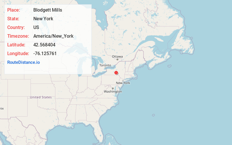
Full AddressBlodgett Mills, NY
-
Coordinates42.5684039, -76.1257608
-
LocationBlodgett Mills , New York , US
-
TimezoneAmerica/New_York
-
Current Local Time5:33:51 AM America/New_YorkWednesday, June 18, 2025
-
Page Views0
About Blodgett Mills
Blodgett Mills is a hamlet and census-designated place in Cortland County, New York, United States. The population was 303 at the 2010 census. It is in the town of Cortlandville, southeast of the city of Cortland.
Nearby Places
Found 10 places within 50 miles

Cortlandville
1.1 mi
1.8 km
Cortlandville, NY
Get directions

Cortland
3.6 mi
5.8 km
Cortland, NY 13045
Get directions

Munsons Corners
4.3 mi
6.9 km
Munsons Corners, NY 13045
Get directions
Cortland West
5.7 mi
9.2 km
Cortland West, NY 13045
Get directions

Freetown
6.3 mi
10.1 km
Freetown, NY
Get directions

Marathon
10.0 mi
16.1 km
Marathon, NY 13803
Get directions

Truxton
11.1 mi
17.9 km
Truxton, NY 13158
Get directions
Harford
11.1 mi
17.9 km
Harford, NY 13835
Get directions

Summer Hill
11.3 mi
18.2 km
Summer Hill, NY 13073
Get directions

Cincinnatus
11.8 mi
19.0 km
Cincinnatus, NY 13040
Get directions
Location Links
Local Weather
Weather Information
Coming soon!
Location Map
Static map view of Blodgett Mills, New York
Browse Places by Distance
Places within specific distances from Blodgett Mills
Short Distances
Long Distances
Click any distance to see all places within that range from Blodgett Mills. Distances shown in miles (1 mile ≈ 1.61 kilometers).