Distance to Bloomingdale, Pennsylvania

Calculating Your Route
Just a moment while we process your request...
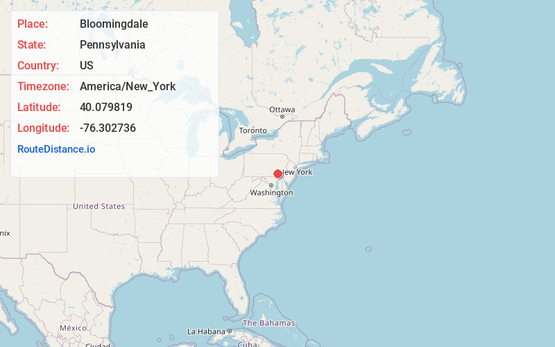
Location Information
-
Full AddressBloomingdale, Manheim Township, PA 17601
-
Coordinates40.0798189, -76.3027359
-
LocationManheim Township , Pennsylvania , US
-
TimezoneAmerica/New_York
-
Current Local Time7:50:53 AM America/New_YorkSaturday, June 14, 2025
-
Page Views0
Nearby Places
Found 10 places within 50 miles

Penn Rose Park
0.8 mi
1.3 km
Penn Rose Park, Manheim Township, PA 17601
Get directions
Eden
1.9 mi
3.1 km
Eden, PA 17601
Get directions
Florys Mill
2.5 mi
4.0 km
Florys Mill, East Hempfield Township, PA 17601
Get directions

Lancaster
2.7 mi
4.3 km
Lancaster, PA
Get directions

East Petersburg
3.1 mi
5.0 km
East Petersburg, PA
Get directions
Hamilton Park
3.4 mi
5.5 km
Hamilton Park, Lancaster Township, PA 17603
Get directions
Conestoga Gardens
3.5 mi
5.6 km
Conestoga Gardens, Lancaster, PA 17602
Get directions

East Hempfield Township
3.8 mi
6.1 km
East Hempfield Township, PA
Get directions
West Lancaster
4.1 mi
6.6 km
West Lancaster, PA 17603
Get directions
Hempfield School District
4.5 mi
7.2 km
Hempfield School District, PA
Get directions
Location Links
Local Weather
Weather Information
Coming soon!
Location Map
Static map view of Bloomingdale, Pennsylvania
Browse Places by Distance
Places within specific distances from Bloomingdale
Short Distances
Long Distances
Click any distance to see all places within that range from Bloomingdale. Distances shown in miles (1 mile ≈ 1.61 kilometers).