Distance to Blount Township, Illinois

Calculating Your Route
Just a moment while we process your request...
Location Information
-
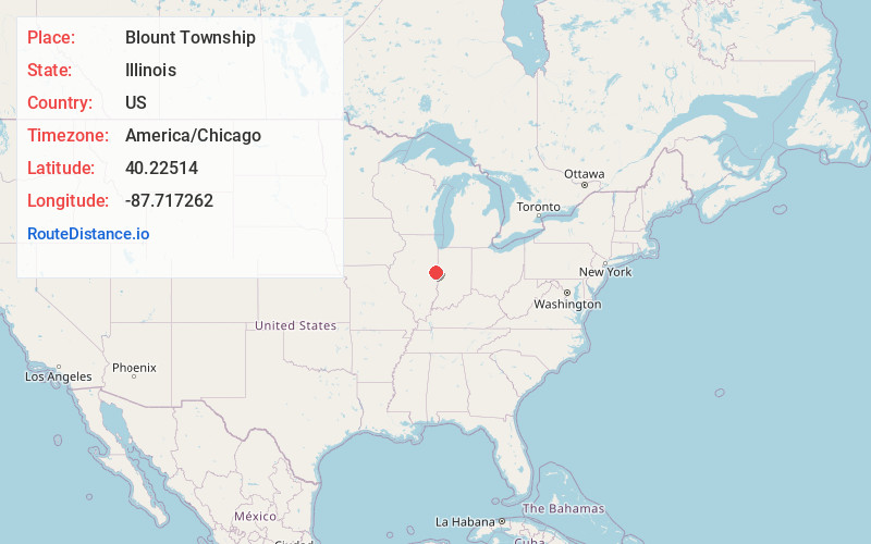
Full AddressBlount Township, IL
-
Coordinates40.2251403, -87.7172616
-
LocationBlount Township , Illinois , US
-
TimezoneAmerica/Chicago
-
Current Local Time11:05:29 PM America/ChicagoMonday, June 2, 2025
-
Page Views0
About Blount Township
Blount Township is a township in Vermilion County, Illinois, United States. As of the 2010 census, its population was 3,428 and it contained 1,475 housing units.
Nearby Places
Found 10 places within 50 miles

Snider
1.8 mi
2.9 km
Snider, Blount Township, IL 61834
Get directions
Higginsville
2.4 mi
3.9 km
Higginsville, Blount Township, IL 61865
Get directions
Vernal
2.8 mi
4.5 km
Vernal, Blount Township, IL 61834
Get directions
Jamesburg
3.1 mi
5.0 km
Jamesburg, Blount Township, IL 61865
Get directions
Collison
4.6 mi
7.4 km
Collison, IL 61831
Get directions
Newtown
4.8 mi
7.7 km
Newtown, Oakwood Township, IL 61858
Get directions
West Newell
5.6 mi
9.0 km
West Newell, IL 61834
Get directions
Henning
5.6 mi
9.0 km
Henning, IL
Get directions
Glenburn
6.3 mi
10.1 km
Glenburn, Oakwood Township, IL 61858
Get directions
Bismarck
6.4 mi
10.3 km
Bismarck, IL
Get directions
Location Links
Local Weather
Weather Information
Coming soon!
Location Map
Static map view of Blount Township, Illinois
Browse Places by Distance
Places within specific distances from Blount Township
Short Distances
Long Distances
Click any distance to see all places within that range from Blount Township. Distances shown in miles (1 mile ≈ 1.61 kilometers).