Distance to Blue Ball, Pennsylvania

Calculating Your Route
Just a moment while we process your request...
Location Information
-
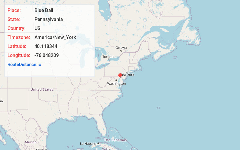
Full AddressBlue Ball, PA
-
Coordinates40.1183438, -76.0482087
-
LocationBlue Ball , Pennsylvania , US
-
TimezoneAmerica/New_York
-
Current Local Time4:59:34 AM America/New_YorkFriday, May 23, 2025
-
Page Views0
About Blue Ball
Blue Ball is an unincorporated community and census-designated place in East Earl Township, Lancaster County, Pennsylvania, United States. Blue Ball lies approximately 2 miles east-northeast of the borough of New Holland at the intersection of US 322 and PA Route 23. As of the 2020 census, the population was 1,095.


Nearby Places
Found 10 places within 50 miles

East Earl
1.0 mi
1.6 km
East Earl, PA 17519
Get directions

New Holland
2.3 mi
3.7 km
New Holland, PA 17557
Get directions

Terre Hill
2.7 mi
4.3 km
Terre Hill, PA 17519
Get directions
Fivepointville
4.5 mi
7.2 km
Fivepointville, PA 17517
Get directions
Bowmansville
5.7 mi
9.2 km
Bowmansville, PA
Get directions
Farmersville
6.2 mi
10.0 km
Farmersville, PA 17522
Get directions

Intercourse
6.4 mi
10.3 km
Intercourse, PA
Get directions

Honey Brook
7.4 mi
11.9 km
Honey Brook, PA 19344
Get directions

West Earl Township
7.5 mi
12.1 km
West Earl Township, PA
Get directions
Reamstown
7.6 mi
12.2 km
Reamstown, PA
Get directions
Location Links
Local Weather
Weather Information
Coming soon!
Location Map
Static map view of Blue Ball, Pennsylvania
Browse Places by Distance
Places within specific distances from Blue Ball
Short Distances
Long Distances
Click any distance to see all places within that range from Blue Ball. Distances shown in miles (1 mile ≈ 1.61 kilometers).