Distance to Blue Ridge, Texas

Calculating Your Route
Just a moment while we process your request...
Location Information
-
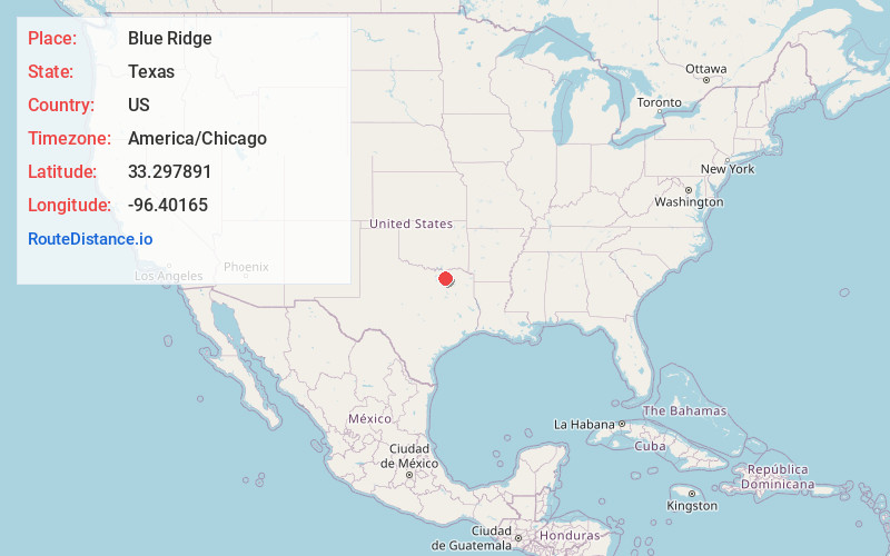
Full AddressBlue Ridge, TX
-
Coordinates33.2978909, -96.4016498
-
LocationBlue Ridge , Texas , US
-
TimezoneAmerica/Chicago
-
Current Local Time5:22:11 AM America/ChicagoSaturday, June 21, 2025
-
Page Views0
About Blue Ridge
Blue Ridge is a city at the intersection of state highway 78, FM 981, and FM 545 in Collin County, Texas, United States. The population was 822 at the 2010 census, and 1,180 in 2020.
Nearby Places
Found 10 places within 50 miles

Westminster
5.7 mi
9.2 km
Westminster, TX 75409
Get directions

Anna
9.2 mi
14.8 km
Anna, TX 75409
Get directions

Farmersville
9.6 mi
15.4 km
Farmersville, TX 75442
Get directions

Princeton
9.9 mi
15.9 km
Princeton, TX
Get directions

Melissa
9.9 mi
15.9 km
Melissa, TX
Get directions

Leonard
10.5 mi
16.9 km
Leonard, TX
Get directions

Celeste
11.9 mi
19.2 km
Celeste, TX 75423
Get directions
Lowry Crossing
13.0 mi
20.9 km
Lowry Crossing, TX
Get directions

Van Alstyne
13.3 mi
21.4 km
Van Alstyne, TX
Get directions

Whitewright
14.9 mi
24.0 km
Whitewright, TX 75491
Get directions
Location Links
Local Weather
Weather Information
Coming soon!
Location Map
Static map view of Blue Ridge, Texas
Browse Places by Distance
Places within specific distances from Blue Ridge
Short Distances
Long Distances
Click any distance to see all places within that range from Blue Ridge. Distances shown in miles (1 mile ≈ 1.61 kilometers).