Distance to Blue Summit, Missouri

Calculating Your Route
Just a moment while we process your request...
Location Information
-
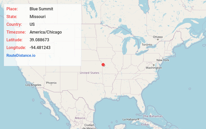
Full AddressBlue Summit, MO 64126
-
Coordinates39.0886727, -94.4812434
-
LocationBlue Summit , Missouri , US
-
TimezoneAmerica/Chicago
-
Current Local Time12:42:04 AM America/ChicagoThursday, June 19, 2025
-
Page Views0
About Blue Summit
Blue Summit is an unincorporated community and census-designated place lodged between Kansas City and Independence in Jackson County, Missouri, United States. It is part of the Kansas City metropolitan area.

Nearby Places
Found 10 places within 50 miles

Sugar Creek
2.4 mi
3.9 km
Sugar Creek, MO
Get directions

Independence
3.5 mi
5.6 km
Independence, MO
Get directions

Kansas City
5.3 mi
8.5 km
Kansas City, MO
Get directions

Raytown
5.6 mi
9.0 km
Raytown, MO
Get directions

Claycomo
7.9 mi
12.7 km
Claycomo, MO
Get directions
Westwood
8.0 mi
12.9 km
Westwood, KS 66205
Get directions

Kansas City
8.0 mi
12.9 km
Kansas City, KS
Get directions

Mission Hills
8.8 mi
14.2 km
Mission Hills, KS
Get directions
Pleasant Valley
8.8 mi
14.2 km
Pleasant Valley, MO
Get directions
Roeland Park
8.8 mi
14.2 km
Roeland Park, KS
Get directions
Location Links
Local Weather
Weather Information
Coming soon!
Location Map
Static map view of Blue Summit, Missouri
Browse Places by Distance
Places within specific distances from Blue Summit
Short Distances
Long Distances
Click any distance to see all places within that range from Blue Summit. Distances shown in miles (1 mile ≈ 1.61 kilometers).