Distance to Bluegrove, Texas

Calculating Your Route
Just a moment while we process your request...
Location Information
-
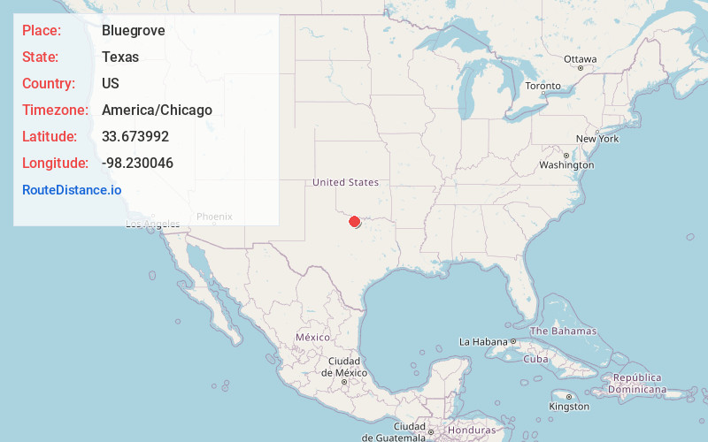
Full AddressBluegrove, TX 76365
-
Coordinates33.6739923, -98.2300458
-
LocationBluegrove , Texas , US
-
TimezoneAmerica/Chicago
-
Current Local Time11:21:50 PM America/ChicagoSunday, June 22, 2025
-
Page Views0
About Bluegrove
Bluegrove is an unincorporated community in Clay County, Texas, United States. According to the Handbook of Texas, the community had a population of 125 in 2000. It is located within the Wichita Falls metropolitan area.


Nearby Places
Found 10 places within 50 miles

Henrietta
10.1 mi
16.3 km
Henrietta, TX 76365
Get directions

Bellevue
12.7 mi
20.4 km
Bellevue, TX 76228
Get directions

Windthorst
13.7 mi
22.0 km
Windthorst, TX 76389
Get directions

Scotland
13.9 mi
22.4 km
Scotland, TX 76379
Get directions
Jolly
14.8 mi
23.8 km
Jolly, TX
Get directions
Ringgold
19.3 mi
31.1 km
Ringgold, TX
Get directions
Dean
20.2 mi
32.5 km
Dean, TX 76305
Get directions

Lakeside City
21.0 mi
33.8 km
Lakeside City, TX 76308
Get directions

Wichita Falls
22.4 mi
36.0 km
Wichita Falls, TX
Get directions
Terral
22.8 mi
36.7 km
Terral, OK 73569
Get directions
Location Links
Local Weather
Weather Information
Coming soon!
Location Map
Static map view of Bluegrove, Texas
Browse Places by Distance
Places within specific distances from Bluegrove
Short Distances
Long Distances
Click any distance to see all places within that range from Bluegrove. Distances shown in miles (1 mile ≈ 1.61 kilometers).