Distance to Bluewing, Tennessee

Calculating Your Route
Just a moment while we process your request...
Location Information
-
Full AddressBluewing, TN 37190
-
Coordinates35.7859021, -85.9916553
-
LocationTennessee , US
-
TimezoneAmerica/Chicago
-
Current Local Time7:29:25 PM America/ChicagoWednesday, May 21, 2025
-
Page Views0
About Bluewing
Bluewing is an unincorporated community in Cannon County, Tennessee, United States. Bluewing is located at the junction of U.S. Route 70S, Tennessee State Route 1, and Tennessee State Route 281 5.3 miles east-southeast of Woodbury. Tennessee State Route 146 also passes through the southern edge of the community.
Nearby Places
Found 10 places within 50 miles

Wildwood Mill
3.6 mi
5.8 km
Wildwood Mill, TN 37190
Get directions
Bates Hill
5.1 mi
8.2 km
Bates Hill, TN 37110
Get directions
Flatwood
5.3 mi
8.5 km
Flatwood, TN 37110
Get directions

Woodbury
5.3 mi
8.5 km
Woodbury, TN 37190
Get directions

Centertown
5.8 mi
9.3 km
Centertown, TN 37110
Get directions
Pisgah
9.4 mi
15.1 km
Pisgah, TN 37166
Get directions

Dibrell
11.3 mi
18.2 km
Dibrell, TN 37110
Get directions
Watkins
12.2 mi
19.6 km
Watkins, TN 37166
Get directions
Lakewood Park
12.6 mi
20.3 km
Lakewood Park, TN
Get directions

Auburntown
12.6 mi
20.3 km
Auburntown, TN 37016
Get directions
Location Links
Local Weather
Weather Information
Coming soon!
Location Map
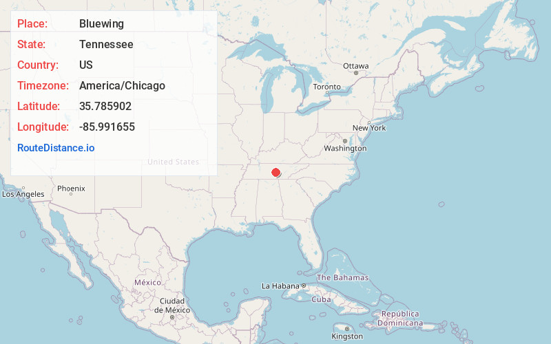
Static map view of Bluewing, Tennessee
Browse Places by Distance
Places within specific distances from Bluewing
Short Distances
Long Distances
Click any distance to see all places within that range from Bluewing. Distances shown in miles (1 mile ≈ 1.61 kilometers).