Distance to Bluntzer, Texas

Calculating Your Route
Just a moment while we process your request...
Location Information
-
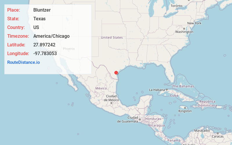
Full AddressBluntzer, TX 78380
-
Coordinates27.8972422, -97.783053
-
LocationBluntzer , Texas , US
-
TimezoneAmerica/Chicago
-
Current Local Time3:38:34 PM America/ChicagoTuesday, July 1, 2025
-
Page Views0
About Bluntzer
Bluntzer is an unincorporated community located in Nueces County, Texas in the Corpus Christi Metropolitan Statistical Area. The elevation is 75 feet. Bluntzer appears on the San Patricio U.S. Geological Survey Map.
Nearby Places
Found 10 places within 50 miles

San Patricio
4.0 mi
6.4 km
San Patricio, TX 78368
Get directions
Sandy Hollow-Escondidas
4.6 mi
7.4 km
Sandy Hollow-Escondidas, TX
Get directions

Banquete
6.3 mi
10.1 km
Banquete, TX
Get directions
Rancho Banquete
6.8 mi
10.9 km
Rancho Banquete, TX 78380
Get directions
Rabb
7.0 mi
11.3 km
Rabb, TX 78380
Get directions
Hubert
7.3 mi
11.7 km
Hubert, TX 78370
Get directions
Edroy
8.4 mi
13.5 km
Edroy, TX 78370
Get directions
Tierra Verde
10.0 mi
16.1 km
Tierra Verde, TX 78380
Get directions

Robstown
10.2 mi
16.4 km
Robstown, TX 78380
Get directions
Casa Blanca
10.3 mi
16.6 km
Casa Blanca, TX 78383
Get directions
Location Links
Local Weather
Weather Information
Coming soon!
Location Map
Static map view of Bluntzer, Texas
Browse Places by Distance
Places within specific distances from Bluntzer
Short Distances
Long Distances
Click any distance to see all places within that range from Bluntzer. Distances shown in miles (1 mile ≈ 1.61 kilometers).