Distance to Blythe Township, Pennsylvania

Calculating Your Route
Just a moment while we process your request...
Location Information
-
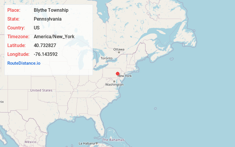
Full AddressBlythe Township, PA
-
Coordinates40.7328272, -76.1435915
-
LocationBlythe Township , Pennsylvania , US
-
TimezoneAmerica/New_York
-
Current Local Time1:29:13 PM America/New_YorkSunday, June 1, 2025
-
Page Views0
About Blythe Township
Blythe Township is a township in Schuylkill County, Pennsylvania. Formed in 1846 from part of Schuylkill Township, it is named for State Legislator Calvin Blythe.

Nearby Places
Found 10 places within 50 miles

Silver Creek
0.5 mi
0.8 km
Silver Creek, PA 17959
Get directions
Cumbola
1.5 mi
2.4 km
Cumbola, PA
Get directions

New Philadelphia
1.7 mi
2.7 km
New Philadelphia, PA 17959
Get directions
Kaska
2.0 mi
3.2 km
Kaska, PA 17959
Get directions
East Norwegian Township
2.0 mi
3.2 km
East Norwegian Township, PA
Get directions
Wolf Creek
2.1 mi
3.4 km
Wolf Creek, Pennsylvania
Get directions

St Clair
2.6 mi
4.2 km
St Clair, PA
Get directions

Port Carbon
2.8 mi
4.5 km
Port Carbon, PA
Get directions
East Mines
2.9 mi
4.7 km
East Mines, PA 17901
Get directions
Dark Water
2.9 mi
4.7 km
Dark Water, PA 17901
Get directions
Location Links
Local Weather
Weather Information
Coming soon!
Location Map
Static map view of Blythe Township, Pennsylvania
Browse Places by Distance
Places within specific distances from Blythe Township
Short Distances
Long Distances
Click any distance to see all places within that range from Blythe Township. Distances shown in miles (1 mile ≈ 1.61 kilometers).