Distance to Blythewood, South Carolina

Calculating Your Route
Just a moment while we process your request...
Location Information
-
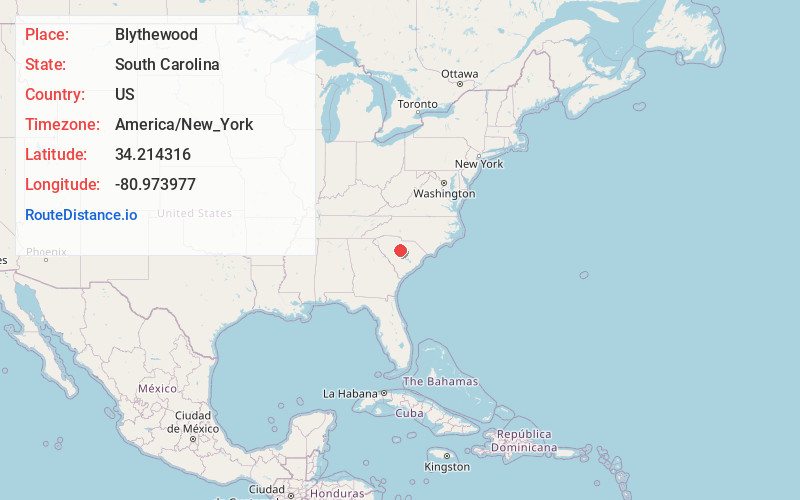
Full AddressBlythewood, SC
-
Coordinates34.2143159, -80.973977
-
LocationBlythewood , South Carolina , US
-
TimezoneAmerica/New_York
-
Current Local Time10:10:13 PM America/New_YorkSaturday, June 28, 2025
-
Website
-
Page Views0
About Blythewood
Blythewood is a town in Richland and Fairfield counties, South Carolina, United States; and a suburb of Columbia. As of the 2020 United States census, the population of the town was 4,772.


Nearby Places
Found 10 places within 50 miles

Dentsville
10.4 mi
16.7 km
Dentsville, SC
Get directions

Woodfield
11.0 mi
17.7 km
Woodfield, SC
Get directions

St Andrews
13.4 mi
21.6 km
St Andrews, SC
Get directions

Forest Acres
13.5 mi
21.7 km
Forest Acres, SC
Get directions

Irmo
14.9 mi
24.0 km
Irmo, SC
Get directions
Seven Oaks
15.1 mi
24.3 km
Seven Oaks, SC
Get directions

Columbia
15.2 mi
24.5 km
Columbia, SC
Get directions

Lugoff
16.3 mi
26.2 km
Lugoff, SC
Get directions

West Columbia
16.3 mi
26.2 km
West Columbia, SC
Get directions

Lake Murray of Richland
17.8 mi
28.6 km
Lake Murray of Richland, SC
Get directions
Location Links
Local Weather
Weather Information
Coming soon!
Location Map
Static map view of Blythewood, South Carolina
Browse Places by Distance
Places within specific distances from Blythewood
Short Distances
Long Distances
Click any distance to see all places within that range from Blythewood. Distances shown in miles (1 mile ≈ 1.61 kilometers).