Distance to Bodega, California

Calculating Your Route
Just a moment while we process your request...
Location Information
-
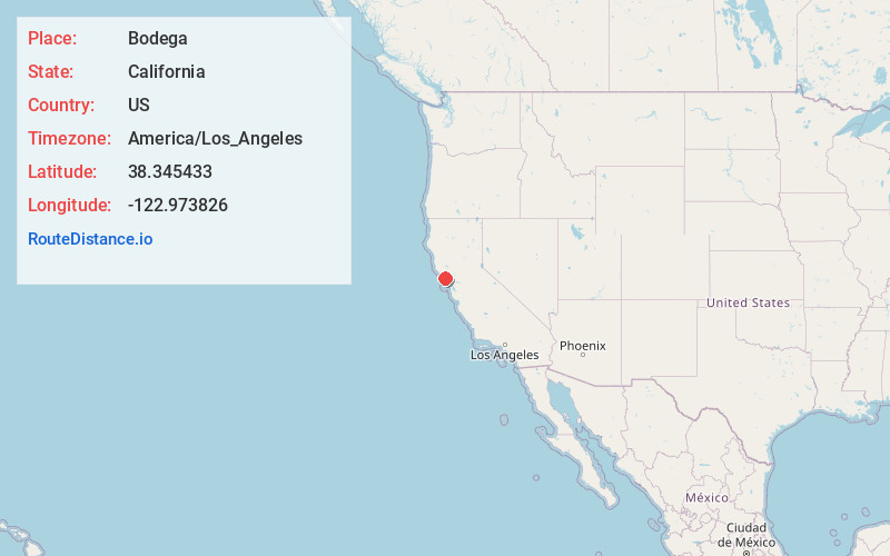
Full AddressBodega, CA
-
Coordinates38.3454326, -122.9738259
-
LocationBodega , California , US
-
TimezoneAmerica/Los_Angeles
-
Current Local Time12:36:00 AM America/Los_AngelesSaturday, June 21, 2025
-
Page Views0
About Bodega
Bodega is an unincorporated community and census-designated place in Sonoma County in the U.S. state of California. The town had a population of 211 as of the 2020 Census.
Bodega is located on Bodega Highway, about 5 mi west of Freestone, California. Salmon Creek flows through the town.


Nearby Places
Found 10 places within 50 miles

Bodega Bay
4.1 mi
6.6 km
Bodega Bay, CA
Get directions

Occidental
4.5 mi
7.2 km
Occidental, CA
Get directions

Graton
8.4 mi
13.5 km
Graton, CA
Get directions

Monte Rio
8.7 mi
14.0 km
Monte Rio, CA
Get directions

Sheridan
9.0 mi
14.5 km
Sheridan, CA 95462
Get directions

Sebastopol
9.0 mi
14.5 km
Sebastopol, CA 95472
Get directions

Forestville
9.9 mi
15.9 km
Forestville, CA 95436
Get directions

Guerneville
10.9 mi
17.5 km
Guerneville, CA 95446
Get directions

Cotati
14.4 mi
23.2 km
Cotati, CA 94931
Get directions

Rohnert Park
14.8 mi
23.8 km
Rohnert Park, CA
Get directions
Location Links
Local Weather
Weather Information
Coming soon!
Location Map
Static map view of Bodega, California
Browse Places by Distance
Places within specific distances from Bodega
Short Distances
Long Distances
Click any distance to see all places within that range from Bodega. Distances shown in miles (1 mile ≈ 1.61 kilometers).