Distance to Bolivar, Texas

Calculating Your Route
Just a moment while we process your request...
Location Information
-
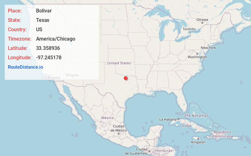
Full AddressBolivar, TX 76266
-
Coordinates33.358936, -97.245178
-
LocationBolivar , Texas , US
-
TimezoneAmerica/Chicago
-
Current Local Time5:30:38 PM America/ChicagoWednesday, June 4, 2025
-
Page Views0
About Bolivar
Bolivar is an unincorporated community in northern Denton County, Texas, United States. According to the Handbook of Texas, the community had a population of 40 in 2000. It is located within the Dallas-Fort Worth Metroplex.
Nearby Places
Found 10 places within 50 miles

Sanger
4.1 mi
6.6 km
Sanger, TX 76266
Get directions

Krum
6.7 mi
10.8 km
Krum, TX 76249
Get directions

Lois
6.9 mi
11.1 km
Lois, TX 76238
Get directions

Slidell
8.5 mi
13.7 km
Slidell, TX 76234
Get directions

Era
9.7 mi
15.6 km
Era, TX 76238
Get directions

Valley View
10.1 mi
16.3 km
Valley View, TX
Get directions

Denton
11.8 mi
19.0 km
Denton, TX
Get directions

Ponder
12.4 mi
20.0 km
Ponder, TX
Get directions

Aubrey
15.4 mi
24.8 km
Aubrey, TX
Get directions
Krugerville
15.6 mi
25.1 km
Krugerville, TX 76227
Get directions
Location Links
Local Weather
Weather Information
Coming soon!
Location Map
Static map view of Bolivar, Texas
Browse Places by Distance
Places within specific distances from Bolivar
Short Distances
Long Distances
Click any distance to see all places within that range from Bolivar. Distances shown in miles (1 mile ≈ 1.61 kilometers).