Distance to Bolt, West Virginia

Calculating Your Route
Just a moment while we process your request...
Location Information
-
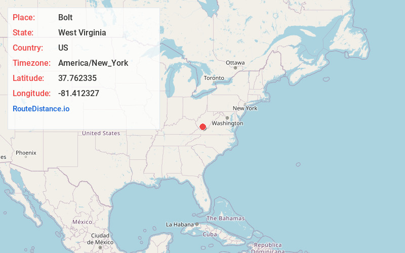
Full AddressBolt, WV
-
Coordinates37.7623349, -81.4123267
-
LocationBolt , West Virginia , US
-
TimezoneAmerica/New_York
-
Current Local Time11:25:06 AM America/New_YorkTuesday, May 20, 2025
-
Page Views0
About Bolt
Bolt is a census-designated place in Raleigh County, West Virginia, United States. Bolt is located on West Virginia Route 99, 12 miles west of Beckley. Bolt has a post office with ZIP code 25817. As of the 2010 census, its population is 548.
Nearby Places
Found 10 places within 50 miles

Lester
6.4 mi
10.3 km
Lester, WV
Get directions

Glen Fork
7.9 mi
12.7 km
Glen Fork, WV 25845
Get directions
Kopperston
8.6 mi
13.8 km
Kopperston, WV 24827
Get directions

Sophia
9.6 mi
15.4 km
Sophia, WV
Get directions
Crab Orchard
10.5 mi
16.9 km
Crab Orchard, WV
Get directions
MacArthur
10.8 mi
17.4 km
MacArthur, WV 25801
Get directions
Mabscott
11.2 mi
18.0 km
Mabscott, WV
Get directions

Beckley
12.4 mi
20.0 km
Beckley, WV 25801
Get directions

Coal City
12.4 mi
20.0 km
Coal City, WV
Get directions

Mullens
12.5 mi
20.1 km
Mullens, WV 25882
Get directions
Location Links
Local Weather
Weather Information
Coming soon!
Location Map
Static map view of Bolt, West Virginia
Browse Places by Distance
Places within specific distances from Bolt
Short Distances
Long Distances
Click any distance to see all places within that range from Bolt. Distances shown in miles (1 mile ≈ 1.61 kilometers).