Distance to and from Bonita Springs, Florida
Bonita Springs, FL
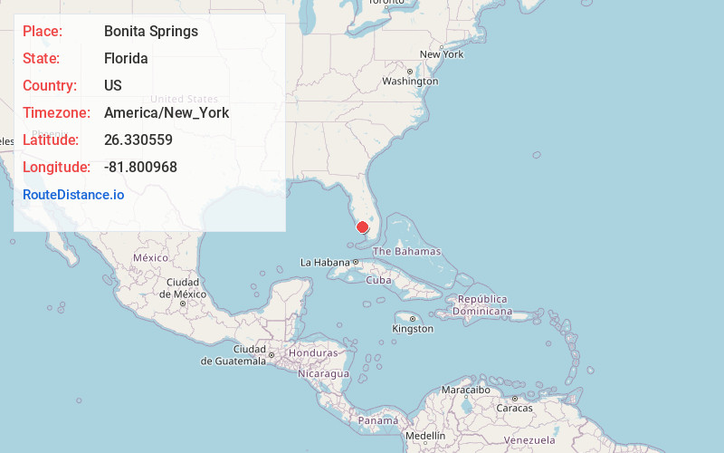
Bonita Springs
Florida
US
America/New_York
Location Information
-
Full AddressBonita Springs, FL
-
Coordinates26.3305585, -81.8009676
-
LocationBonita Springs , Florida , US
-
TimezoneAmerica/New_York
-
Current Local Time1:02:20 PM America/New_YorkSaturday, May 3, 2025
-
Website
-
Page Views1
Directions to Nearest Cities
About Bonita Springs
Bonita Springs is a city in southwest Florida. It’s known for its Gulf Coast beaches and parks, including secluded Little Hickory Island Beach Park and Bonita Beach Park, with its sand dunes. Nearby, to the north, is Lovers Key State Park, a popular swimming and kayaking spot. Made up of 4 barrier islands, the park is home to manatees and dolphins. Everglades Wonder Gardens features orchids, parrots and reptiles.


Nearby Places

Location Links
Local Weather
Weather Information
Coming soon!
Location Map
Static map view of Bonita Springs, Florida
Browse Places by Distance
Places within specific distances from Bonita Springs
Short Distances
Long Distances
Click any distance to see all places within that range from Bonita Springs. Distances shown in miles (1 mile ≈ 1.61 kilometers).