Distance to Bonnet Shores Beach, Rhode Island

Calculating Your Route
Just a moment while we process your request...
Location Information
-
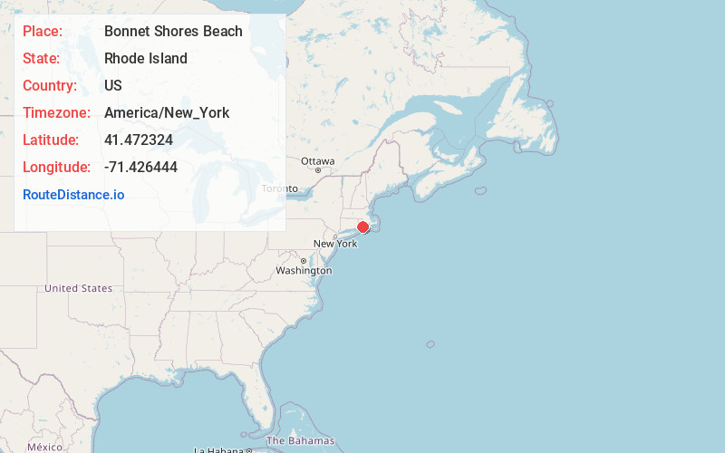
Full AddressBonnet Shores Beach, Narragansett, RI 02882
-
Coordinates41.4723242, -71.4264443
-
LocationNarragansett , Rhode Island , US
-
TimezoneAmerica/New_York
-
Current Local Time5:31:26 PM America/New_YorkTuesday, June 17, 2025
-
Page Views0
About Bonnet Shores Beach
Crescent-shaped sand beach with calmer waves, rocks for climbing & diving & tide pools.


Nearby Places
Found 10 places within 50 miles

Narragansett
1.9 mi
3.1 km
Narragansett, RI
Get directions

Clarks Village
2.0 mi
3.2 km
Clarks Village, Jamestown, RI 02835
Get directions

Jamestown
3.3 mi
5.3 km
Jamestown, RI
Get directions

South Kingstown
4.5 mi
7.2 km
South Kingstown, RI
Get directions

Newport
6.1 mi
9.8 km
Newport, RI
Get directions

North Kingstown
6.8 mi
10.9 km
North Kingstown, RI
Get directions

Belleville Pond
6.9 mi
11.1 km
Belleville Pond, North Kingstown, RI 02852
Get directions

Easton Beach
7.1 mi
11.4 km
Easton Beach, Rhode Island 02840
Get directions

Middletown
8.2 mi
13.2 km
Middletown, RI
Get directions
Sachuest
9.6 mi
15.4 km
Sachuest, Middletown, RI 02842
Get directions
Location Links
Local Weather
Weather Information
Coming soon!
Location Map
Static map view of Bonnet Shores Beach, Rhode Island
Browse Places by Distance
Places within specific distances from Bonnet Shores Beach
Short Distances
Long Distances
Click any distance to see all places within that range from Bonnet Shores Beach. Distances shown in miles (1 mile ≈ 1.61 kilometers).