Distance to Boulder, Utah

Calculating Your Route
Just a moment while we process your request...
Location Information
-
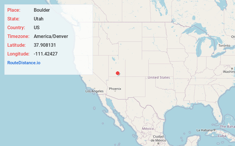
Full AddressBoulder, UT 84716
-
Coordinates37.9081314, -111.4242702
-
LocationBoulder , Utah , US
-
TimezoneAmerica/Denver
-
Current Local Time2:24:20 AM America/DenverFriday, June 20, 2025
-
Page Views0
About Boulder
Boulder is a town in Garfield County, Utah, United States, 27 miles northeast of Escalante on Utah Scenic Byway 12 at its intersection with the Burr Trail. As of the 2020 census, the town population was 227.


Nearby Places
Found 6 places within 50 miles

Escalante
13.6 mi
21.9 km
Escalante, UT 84726
Get directions

Bicknell
30.6 mi
49.2 km
Bicknell, UT 84715
Get directions

Loa
36.2 mi
58.3 km
Loa, UT 84747
Get directions

Tropic
40.9 mi
65.8 km
Tropic, UT 84776
Get directions

Kingston
46.4 mi
74.7 km
Kingston, UT 84740
Get directions

Circleville
49.5 mi
79.7 km
Circleville, UT
Get directions
Location Links
Local Weather
Weather Information
Coming soon!
Location Map
Static map view of Boulder, Utah
Browse Places by Distance
Places within specific distances from Boulder
Short Distances
Long Distances
Click any distance to see all places within that range from Boulder. Distances shown in miles (1 mile ≈ 1.61 kilometers).