Distance to and from Boulder Flats, Wyoming
Boulder Flats, WY 82520
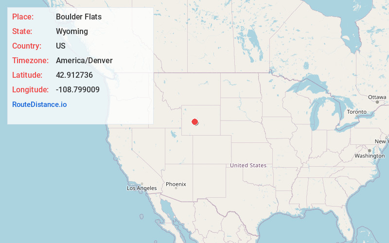
Boulder Flats
Wyoming
US
America/Denver
Location Information
-
Full AddressBoulder Flats, WY 82520
-
Coordinates42.9127357, -108.7990093
-
LocationBoulder Flats , Wyoming , US
-
TimezoneAmerica/Denver
-
Current Local Time5:05:29 AM America/DenverSunday, May 4, 2025
-
Page Views0
Directions to Nearest Cities
About Boulder Flats
Boulder Flats is a census-designated place in Fremont County, Wyoming, United States. The population was 408 at the 2010 census.
Nearby Places
Found 6 places within 50 miles

Lander
6.5 mi
10.5 km
Lander, WY 82520
Get directions

Fort Washakie
7.7 mi
12.4 km
Fort Washakie, WY
Get directions

Ethete
7.9 mi
12.7 km
Ethete, WY
Get directions

Arapahoe
16.0 mi
25.7 km
Arapahoe, WY
Get directions

Riverton
22.5 mi
36.2 km
Riverton, WY 82501
Get directions

Shoshoni
41.3 mi
66.5 km
Shoshoni, WY 82649
Get directions
Location Links
Local Weather
Weather Information
Coming soon!
Location Map
Static map view of Boulder Flats, Wyoming
Browse Places by Distance
Places within specific distances from Boulder Flats
Short Distances
Long Distances
Click any distance to see all places within that range from Boulder Flats. Distances shown in miles (1 mile ≈ 1.61 kilometers).