Distance to Bowbells, North Dakota

Calculating Your Route
Just a moment while we process your request...
Location Information
-
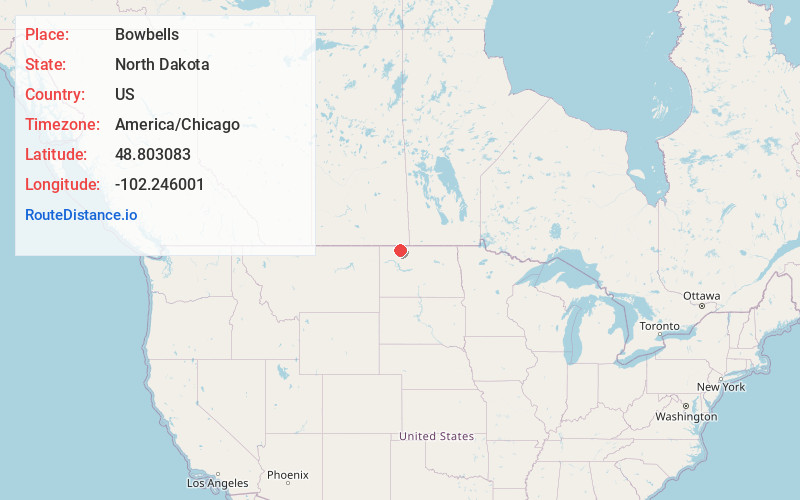
Full AddressBowbells, ND 58721
-
Coordinates48.8030833, -102.2460008
-
LocationBowbells , North Dakota , US
-
TimezoneAmerica/Chicago
-
Current Local Time7:05:09 AM America/ChicagoTuesday, June 10, 2025
-
Website
-
Page Views0
About Bowbells
Bowbells is a city in and the county seat of Burke County, North Dakota, United States. The population was 301 at the 2020 census.
Nearby Places
Found 7 places within 50 miles

Kenmare
11.6 mi
18.7 km
Kenmare, ND 58746
Get directions

Mohall
33.5 mi
53.9 km
Mohall, ND 58761
Get directions

Stanley
34.2 mi
55.0 km
Stanley, ND 58784
Get directions
Berthold
41.1 mi
66.1 km
Berthold, ND 58718
Get directions

Tioga
42.3 mi
68.1 km
Tioga, ND 58852
Get directions

Crosby
48.3 mi
77.7 km
Crosby, ND 58730
Get directions

Minot Air Force Base
49.6 mi
79.8 km
Minot Air Force Base, ND
Get directions
Location Links
Local Weather
Weather Information
Coming soon!
Location Map
Static map view of Bowbells, North Dakota
Browse Places by Distance
Places within specific distances from Bowbells
Short Distances
Long Distances
Click any distance to see all places within that range from Bowbells. Distances shown in miles (1 mile ≈ 1.61 kilometers).